
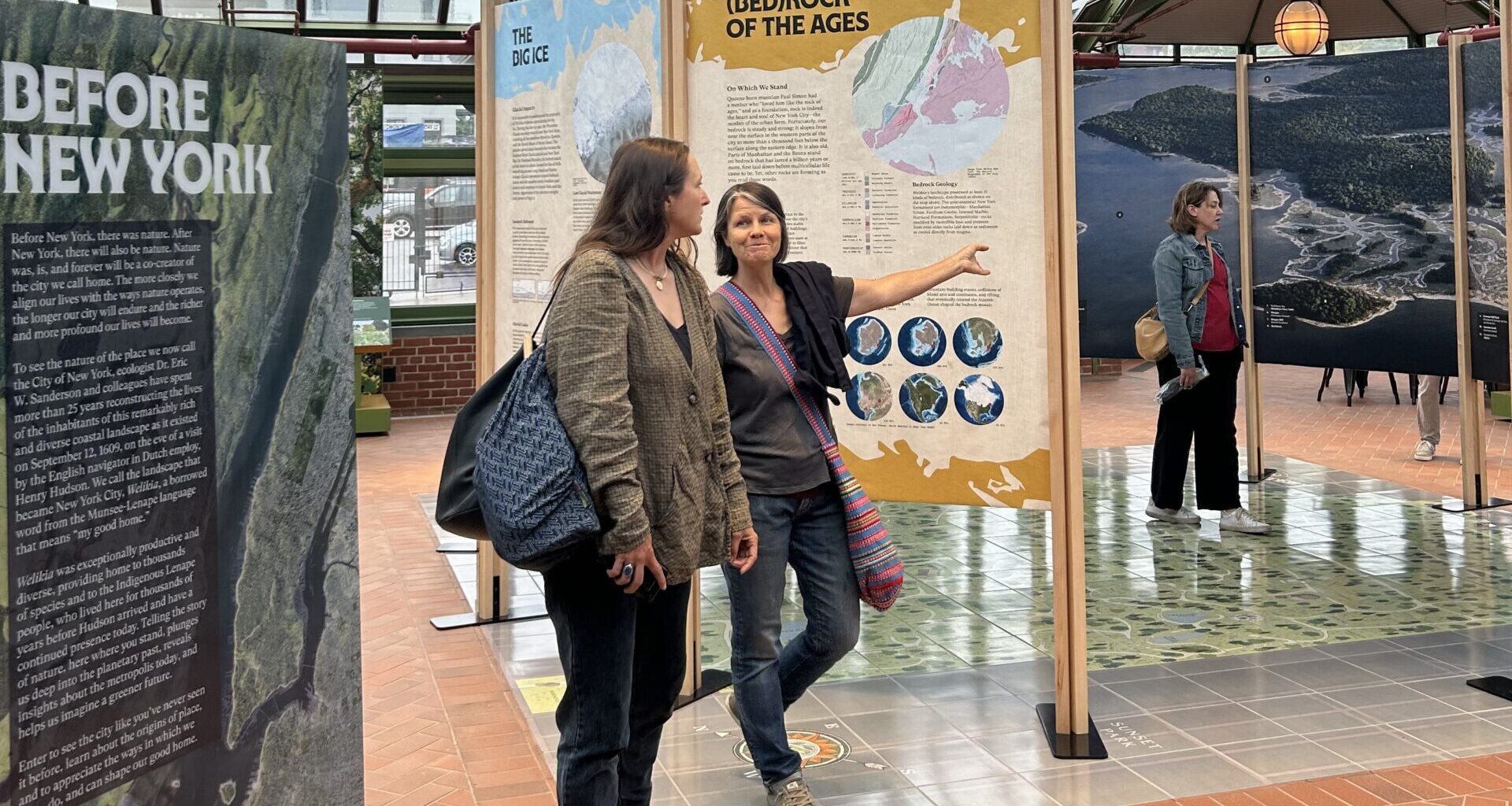
 GREENWOOD HEIGHTS — Landscape ecologist Eric Sanderson has spent nearly three decades painstakingly reconstructing what New York City might have looked like 400 years ago when it was made up of beaches, plains, forested hills and marshes.
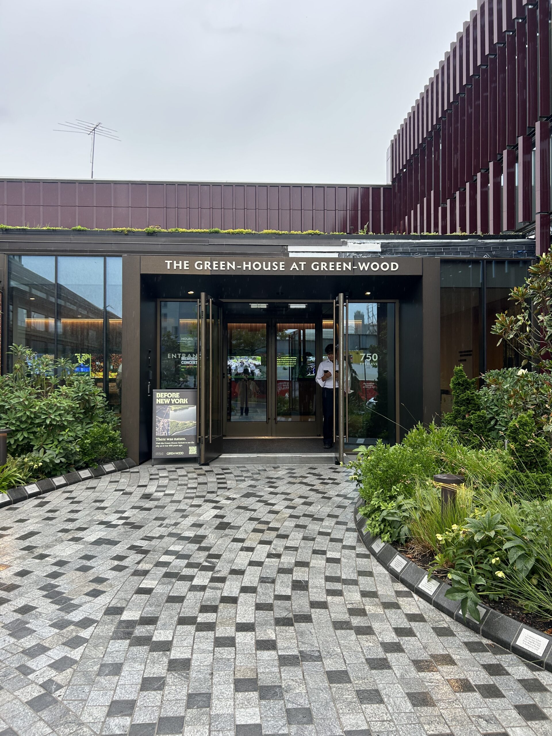 Green-Wood’s newly opened Green-House is the home of Eric Sanderson’s “Before New York” exhibit, which is open now until July 20. Photo: Ella Spungen/Brooklyn Eagle
In 2009, Sanderson, who leads the New York Botanical Garden’s Urban Conservation program, compiled his research on the island of Manhattan drawn from hundreds of georeferenced historical maps into a book entitled “Manahatta: A Natural History of New York City.”
This year, he is finally expanding his scope to all five boroughs with the publication of his new book, “Before New York,” releasing this fall.
In anticipation of the book launch, Sanderson and NYBG are taking his research on the road. A traveling “Before New York” exhibit will come to each borough this summer and fall, zooming in on the natural forces that shaped each borough. Brooklyn is the first pop-up stop after the exhibit opened in the Bronx at NYBG in the spring.
 Génesis Abreu, director of urban conservation partnerships at the New York Botanical Garden, watched as visitors milled around “Before New York” before the talk. Photo: Ella Spungen/Brooklyn Eagle
The exhibit opened at Green-Wood Cemetery’s newly-renovated Green-House earlier this month and will remain open through July 20. Last Tuesday, June 23, Sanderson gave a talk at the visitor center about Brooklyn’s ecological past and future.
“The first thing to say about Brooklyn is it’s an arbitrary entity,” he said. “Brooklyn doesn’t have a natural geography, unlike Manhattan, which is an island, or the Bronx, which is a series of peninsulas attached to the mainland. Brooklyn is functionally a political entity.”
Sanderson walked attendees through millions of years of Brooklyn’s geological history, tracing where Brooklyn was on the supercontinent of Pangea. He explained that glaciers laid down the sediment that would become Long Island after they suddenly melted 13,500 years ago, causing a wall of water 600 feet high that broke open the Narrows between Brooklyn and Staten Island.
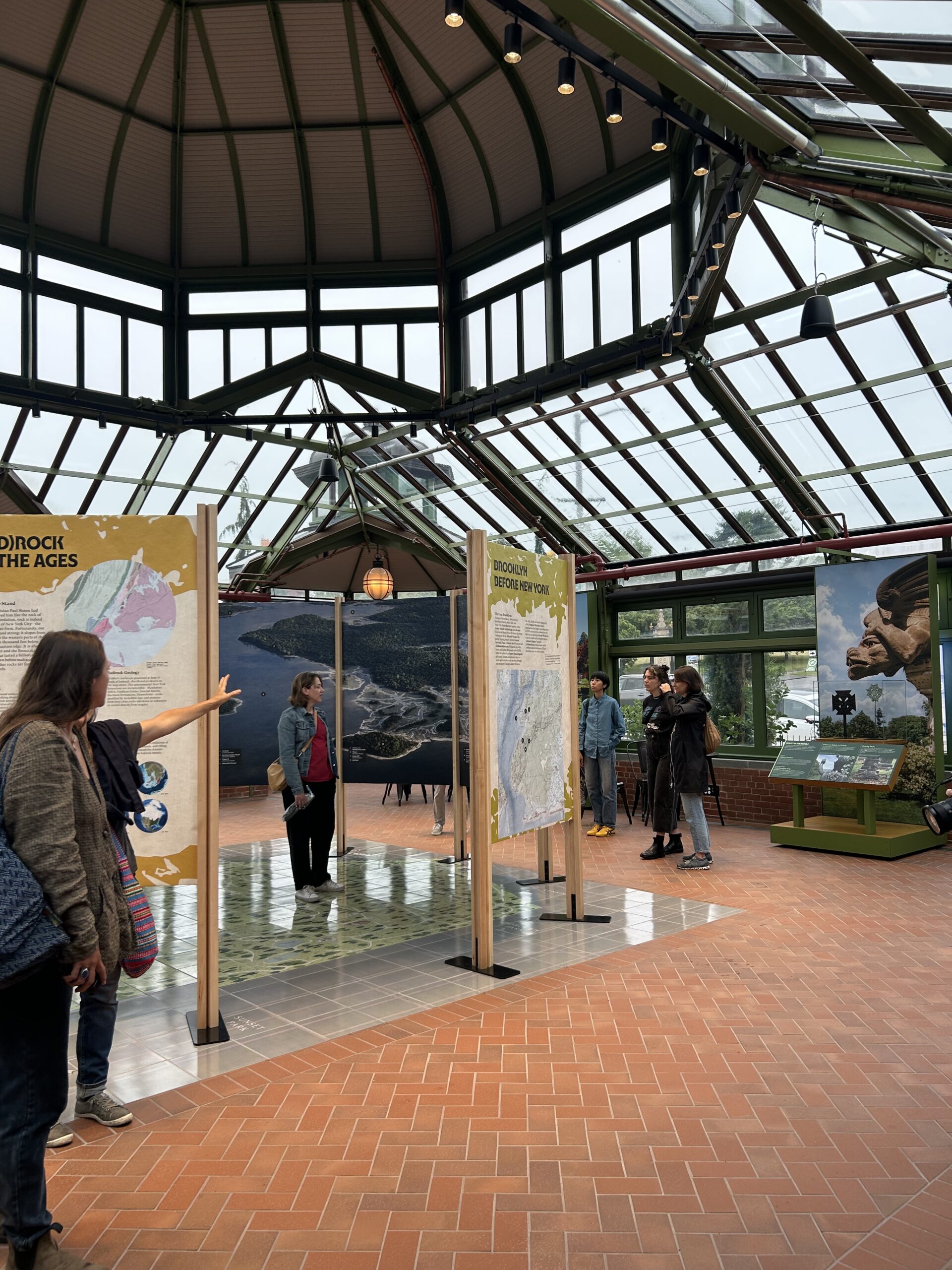 Visitors explored the “Before New York” pop-up exhibit at Green-Wood before a lecture by Eric Sanderson. Photo: Ella Spungen/Brooklyn Eagle
Sanderson discussed how the topography and geology of the landscape meant there was a stream in one place, while in another place, there was a marsh. Hydrology impacted the lives of the Lenape people, who lived in Brooklyn long before anyone else, and determined where earlier colonists decided to farm and build wells.
“Practically any place where a freshwater stream and the shore came together, there was a Lenape settlement,” Sanderson said.
Sanderson explained the waterfront by focusing on Coney Island, Sunset Park, Paerdegat Basin in southeast Brooklyn, and Wallabout Bay near the Brooklyn Navy Yard.
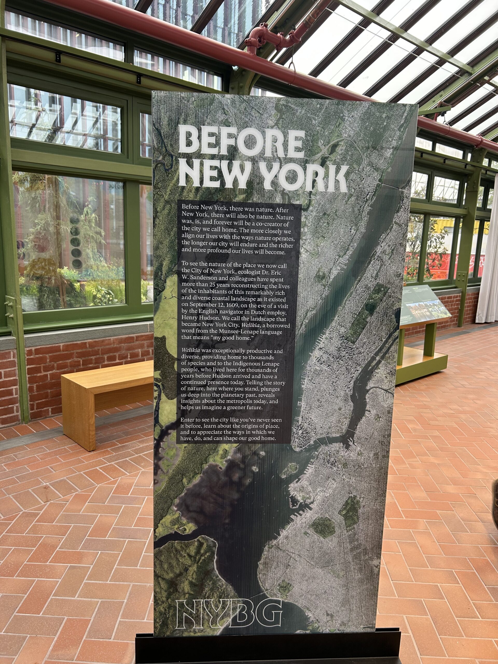 The traveling pop-up exhibit “Before New York” draws on over 25 years of research by landscape ecologist Eric Sanderson and his colleagues at NYBG. Photo: Ella Spungen/Brooklyn Eagle
Coney Island was once a constantly-shifting network of several islands. Dunes and salt marshes made for a damage-resistant landscape. “This configuration of ecosystems is nature’s way of making the coast resilient and adaptable,” said Sanderson.
The energy of a storm surge would be absorbed by the dunes and then wash into the flood-adapted marshes. This network of ecosystems would move as sea level rose and fell. By 1924, most of the Coney Island archipelago had been filled in to build housing, railways and the titular resort.
Almost a century later, Coney Island saw some of the city’s worst flood damage during Superstorm Sandy.
Sunset Park, where Green-Wood now sits, was a coastal salt marsh complex with an undulating, unstable topography. “You can see how rough and uneven the topography was, and in those undulations in the land were ponds and bogs and streams, many of which have been leveled off subsequently,” said Sanderson.