
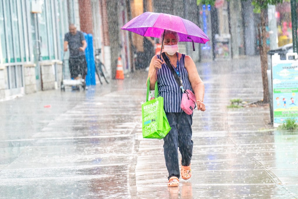
The New York metro area was spared the brunt of a fierce Tuesday morning storm that swept west and north of the city, but a second round of severe weather still had NYC in its sights.
“It’s been pretty much everywhere but the city and Long Island,” National Weather Service meteorologist Jim Connolly told the Daily News Tuesday afternoon. The storm had hit New Jersey “fairly hard” before skirting NYC and moving into the lower Hudson Valley, and as of Tuesday afternoon it was slamming southern Connecticut.
But additional storms were developing west of New York that could spawn severe thunderstorms whipped by strong winds, followed by flash flooding, especially in places hit with multiple bouts of rain, Connolly added. New York City and much of New Jersey were under a flood watch amid the possibility of 1 to 2 inches of rain per hour in some spots, the NWS said.
“Multiple rounds of showers and thunderstorms are expected today through this evening,” the NWS predicted. “There is potential for isolated to scattered severe thunderstorms and flash flooding.”
“Now we’re seeing storms really starting to explode across Pennsylvania and into northern New Jersey,” Accuweather director of forecasting Carl Erickson told the Daily News.
Conditions were similar to Saturday’s (only without the smoke), when strong storms gave way to a lull, after which another round pummeled the region, Erickson noted. Tuesday would see “clusters of storms coming in” starting sometime after 3 or 4 p.m. and lasting until 9 or 10, Erickson said, making for a “six-hour window where we expect the worst weather.”
While the morning storms’ biggest threat was flash flooding, the afternoon and evening tempests added the prospect of damaging winds in the 60-70mph range and the slight possibility of “an isolated tornado,” Erickson told The News.
The NWS put the isolated tornado risk at 10% coupled with a 15% chance of “large, damaging hail” up to an inch in diameter. The agency also flagged a high rip tide risk in place through Wednesday evening at all ocean beaches.
“Life-threatening rip currents are likely for all people entering the surf zone,” the NWS said in its forecast. “Anyone visiting the beaches should stay out of the surf. Rip currents can sweep even the best swimmers away from shore into deeper water.”
While rain was predicted Wednesday as well, it “won’t be organized, widespread severe weather like what we’re having today,” Erickson said, adding that overall the wet weather would wash the humidity out of the air and yield to dry highs in the low 80s, “really nice weather to end the week.”