After a run of pleasant summer weather, the chance for severe storms returns Tuesday, bringing with it the threat of flash flooding, damaging winds — and even possible tornadoes.
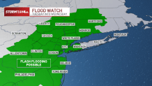
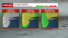
A flood watch will go into effect at 8:00 a.m. Tuesday for the entire tri-state area, with the exception of Suffolk County on Long Island.
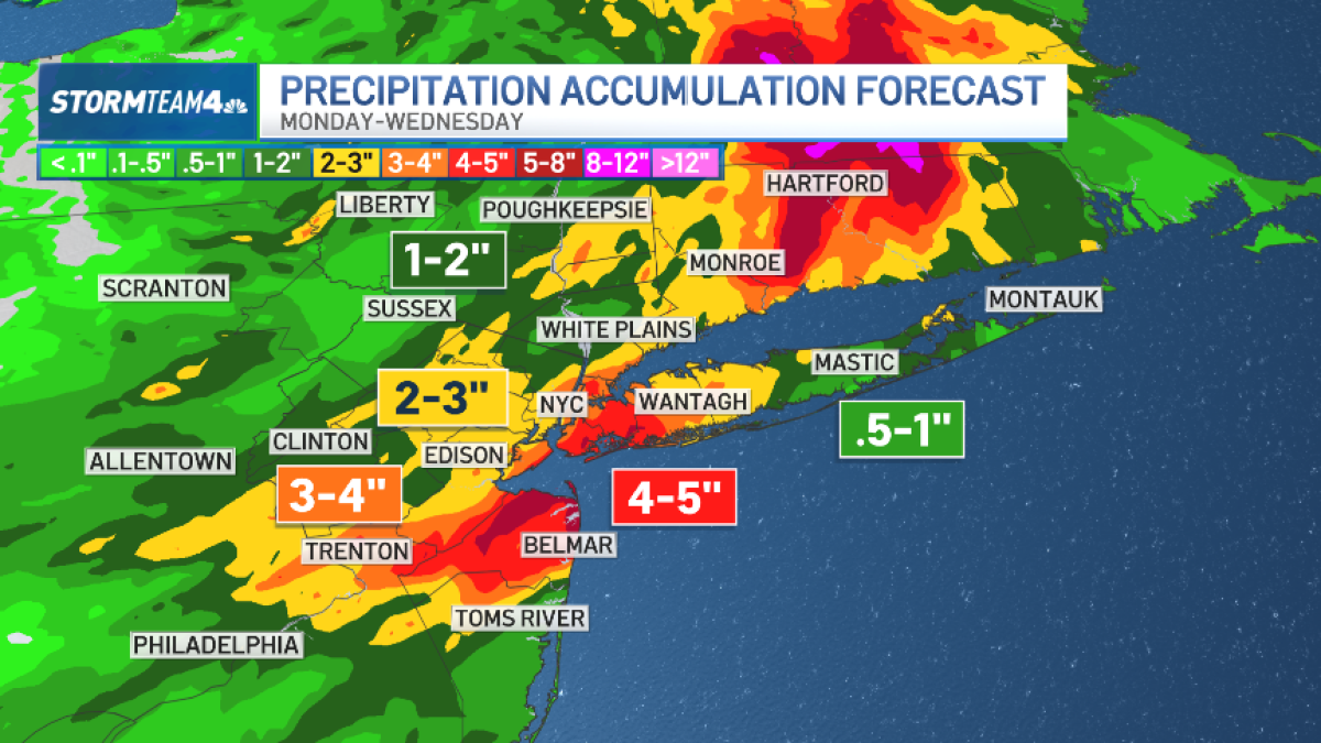
Storms on Tuesday will be capable of producing very heavy downpours, with rainfall rates in excess of 2 inches per hour. This could cause isolated flash flooding in low-lying and urban areas, especially.
Rain totals could top 4 inches in isolated places where rainfall is heaviest and storms linger over a particular location for two or more hours.
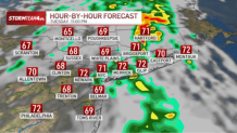
Timing of Tuesday’s storms will be from mid to late-morning through mid-evening. Storms will be possible again Wednesday, but they won’t be as intense or widespread.
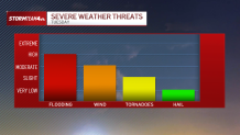
Flooding isn’t the only threat on the table Tuesday. A secondary threat of damaging straight line wind is possible from a handful of storms that generate wind gusts 60+ miles per hour. These strongest storms are most likely in Central and South Jersey.
In addition, we can’t rule out an isolated spin-up tornado or two. These, too, are most likely to develop in Central and South Jersey.
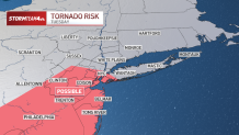
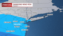
The overall threat for severe storms will be highest on Tuesday. The likelihood of wind and/or tornado damage beyond Tuesday is not likely, as atmospheric instability will be lower.
However, isolated flash flooding will still be a concern for areas north and east of New York City on Wednesday, as the culprit low pressure system makes very slow progress to the east.
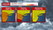
Hourly radar forecast:
Tuesday 9 a.m.
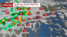
Tuesday 2 p.m.
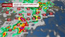
Tuesday 6 p.m.
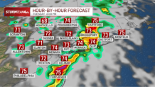
Tuesday 11 p.m.