
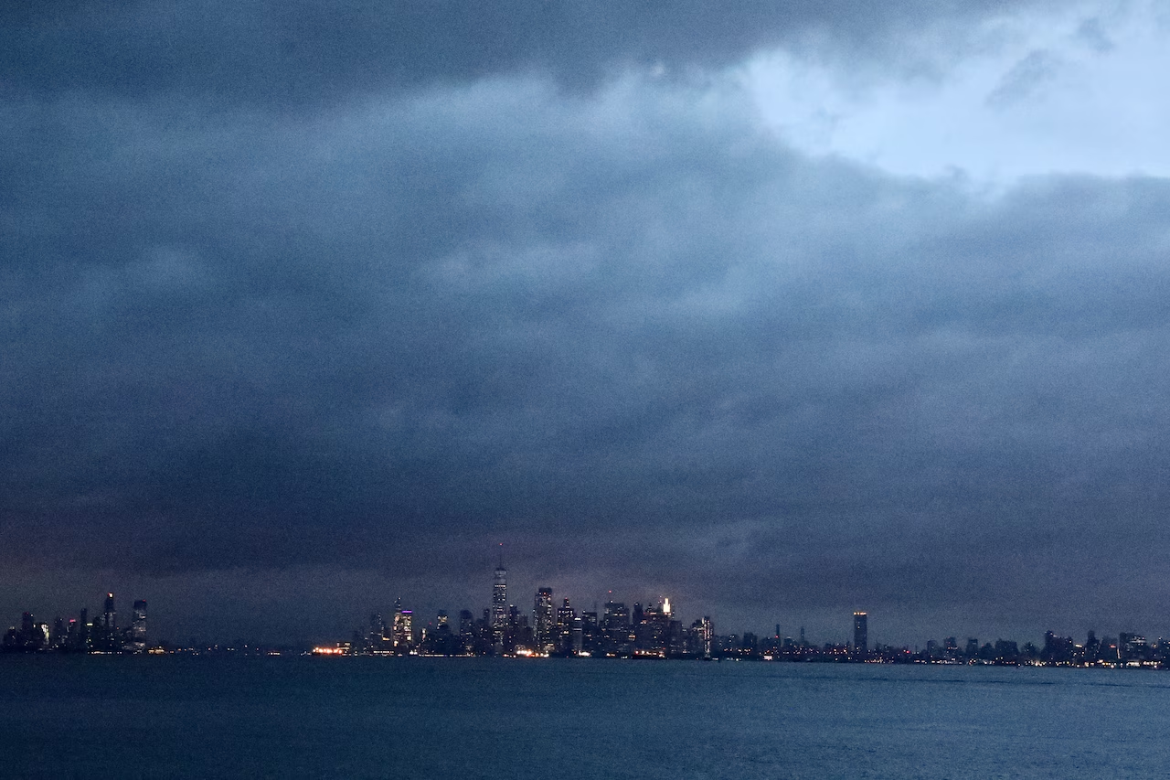
Staten Island faces a significant flood threat Tuesday. A slow-moving system is expected to bring multiple rounds of heavy showers and thunderstorms through Wednesday evening, with the potential for life-threatening flash flooding, according to the National Weather Service.
The National Weather Service has issued a Flood Watch for Staten Island beginning at 8 a.m. Tuesday and continuing through Wednesday evening.
The Weather Prediction Center has designated a moderate risk — level three out of four — for excessive rainfall affecting portions of the area.
Rainfall totals of two to three inches are forecast on average for the Staten Island and New York City area, with isolated higher amounts possible.
The heaviest showers and thunderstorms are expected to arrive during the afternoon Tuesday. Peak rainfall rates of up to two to three inches per hour are possible.
The severe weather threat is expected to lower overnight Tuesday into Wednesday, however.
Shower chances continue into Thursday as the stalled storm slowly exits the region. Conditions are expected to improve by Friday, with mainly dry weather and only a slight chance of an afternoon shower or thunderstorm. Saturday is forecast to be mainly dry.