

NEW YORK CITY – Fall colors and the first snowflakes of the season don’t usually mix in New York City, but every once in a while, the two collide in a phenomenon called “snowliage.”
What is “snowliage”?
What we know:
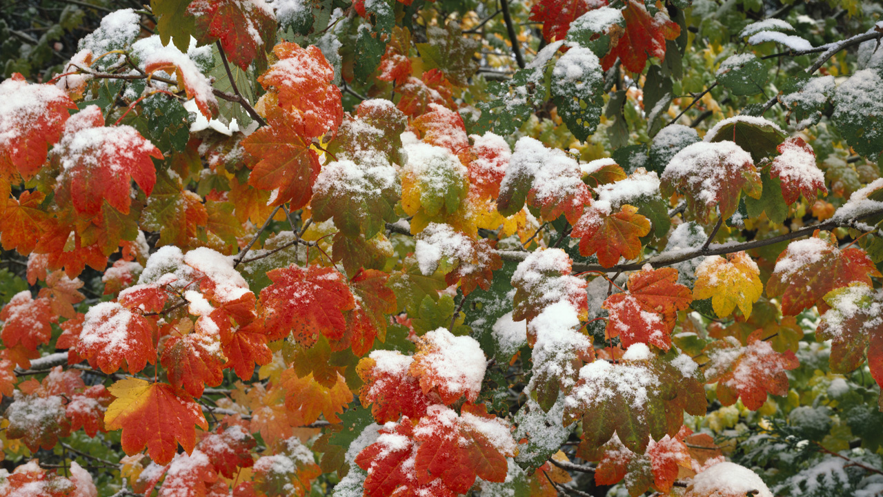
“Snowliage” is defined as when an early snowfall blankets the autumn leaves before they’ve had a chance to fall.

Snow-covered autumn leaves (Photo by Craig Tuttle/Corbis via Getty Images)
FOX 5 NY’s Audrey Puente says you need two things to line up: peak or near peak color, as well as an early shot of cold strong enough for snow air. Peak color in New York City often hits in late October and early November, just as the atmosphere starts flirting with freezing temperatures.
In much of the northeast and New England, measurable snow during peak or near peak foliage is rare, but not impossible.
The backstory:
The Halloween nor’easter back in 2011 dumped heavy, wet October snow across Connecticut, parts of New Jersey and New York while many trees still had leaves. Central Park recorded 2.9 inches – a record for the highest snowfall on any day in October in Central Park. Hartford recorded 12 inches and Newark had 5.
Then, in 2012, just days after Hurricane Sandy, another early November storm dropped nearly 5 inches of snow in Central Park. While it sounds beautiful, Puente says it can also be destructive, as wet, heavy snow on leafy trees can snap branches and bring down power lines.
Could this happen this year?
Puente says the chances are very low in the Tri-State area, as the fall foliage window is expected to lean a bit earlier this season, in part due to a lack of rain. In addition, it was a warm September and early October in Central Park.
October snow events are rare, with only three incidences of measurable snow on record: the 2011 Halloween nor’easter mentioned above, and two others in 1925 and 1952 that both recorded well under an inch of snow.