
A coalition of urban design experts unveils a data-driven vision to transform Lower Manhattan’s historic street grid into a pedestrian-first public realm.
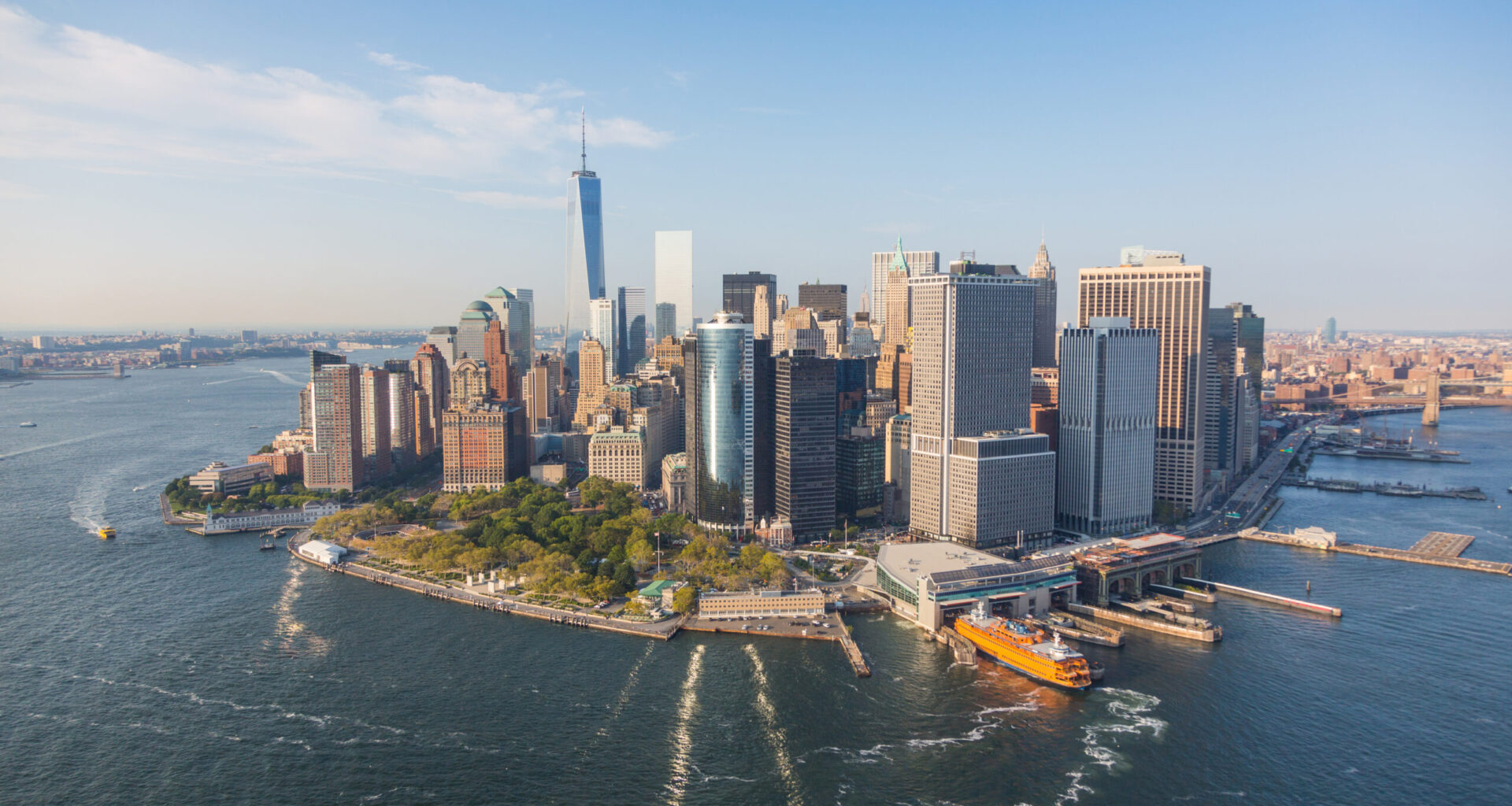
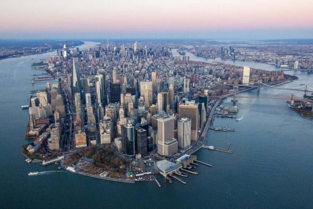
Lower Manhattan is one of New York City’s most historic and dynamic neighborhoods, but its streets haven’t kept pace with its transformation. As residential populations grow, tourism surges, and creative industries move in; the Financial District’s (FiDi) colonial-era street grid is straining under modern demands. In response, Buro Happold has partnered with the Financial District Neighborhood Association (FDNA) and a coalition of urban design experts to develop a bold new vision for the area’s public realm.
The result is Make Way for Lower Manhattan, a vision plan to reimagine FiDi’s streets as shared spaces that prioritize pedestrians, cyclists, and transit over cars. The initiative proposes a “slow-street district” that would calm traffic, widen sidewalks, remove scaffolding, and create new public plazas – transforming the neighborhood into a walkable, welcoming destination for residents and visitors alike.
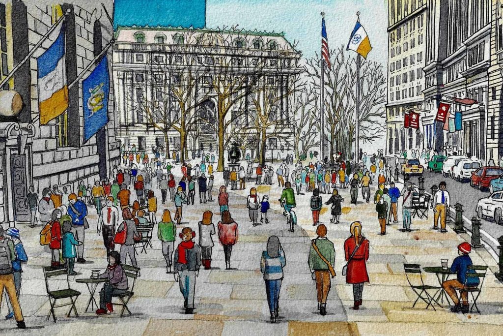 Image: Financial District Neighborhood Association (FDNA)
Since the pandemic, activation of our streets for people has been a proven benefit to neighborhoods. With Gotham Park opening up the area under the Brooklyn Bridge in FiDi and the open streets initiatives across Lower Manhattan, the time is now to deliver the Make Way for Lower Manhattan vision of shared streets and enhanced public realm in FiDi.
A Data-Driven Approach to Urban Transformation
Since 2014, Buro Happold has led research and stakeholder engagement efforts focused on mobility and public space in Lower Manhattan. Through spatial analysis, public realm diagnostics, and transportation planning, the team uncovered a dramatic shift in the district’s demographics and land use:
Residential population has doubled since 2000
Vehicular traffic in the central business district went down about 20% while bike traffic increased by almost 50%
Hotel rooms have quadrupled
Tourism has grown sixfold
Creative industries and nonprofits now dominate new tenancies
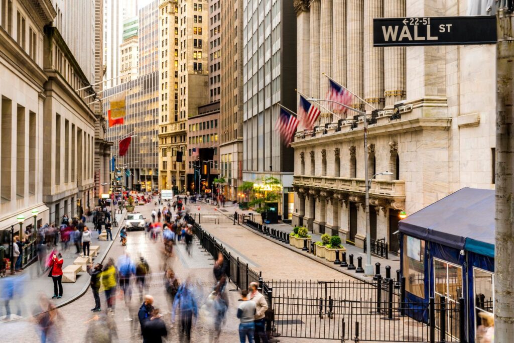
Despite these changes, the streets remain designed for a car-centric past. Narrow sidewalks, irregular intersections, and outdated regulations have created congestion, safety issues, and a diminished public experience. Buro Happold’s findings, presented to city officials and community leaders, laid the groundwork for the Make Way report and its actionable recommendations.
Streets for People
Lower Manhattan’s historic street grid – narrow, winding, and rich with architectural character – offers a unique opportunity to reimagine the public realm for pedestrians, cyclists, and community life. The Make Way for Lower Manhattan plan proposes a transformative “slow-street district” that prioritizes people over cars, drawing inspiration from global best practices in cities like Amsterdam, Barcelona, and Copenhagen.
At the heart of the proposal is a network of shared streets stretching from Chambers Street to Battery Park, and from Broadway to Water Street. These streets would feature reduced vehicular access, expanded pedestrian zones, and improved streetscape elements such as lighting, signage, and seating. The plan envisions a historic walking trail along Nassau and Broad Streets, connecting key landmarks like City Hall, the Brooklyn Bridge, Bowling Green, and the Staten Island Ferry. East-west “ribs” would link this spine to destinations like the World Trade Center, Trinity Church, and the South Street Seaport.
Public art installations along Maiden Lane, enhanced plazas at Bowling Green and the Stock Exchange, and a reimagined Brooklyn Bridge–City Hall gateway would anchor the district. These interventions aim to create a legible, safe, and vibrant environment for residents, workers, and the millions of tourists who visit Lower Manhattan each year.
By reclaiming street space from placard parking, scaffolding, and delivery congestion, and by implementing thoughtful design and policy changes, the plan charts a path toward a more inclusive, walkable, and celebrated downtown.
Transformative Mobility Shifts
Recent developments across New York City have created new opportunities to rethink mobility and public space in Lower Manhattan. The implementation of congestion pricing has reduced vehicular traffic and parking demand, enabling the reallocation of street space toward alternative modes of transportation and enhanced public landscapes.
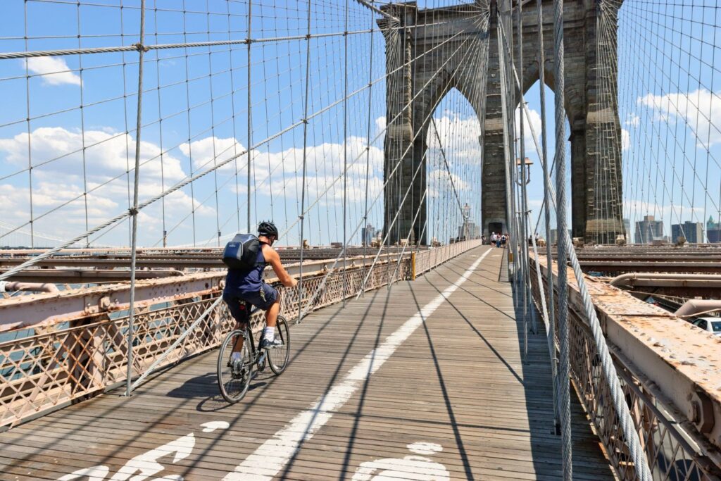
The integration of e-bikes into the Citi Bike system has expanded the reach of bike travel to Lower Manhattan, improving access from outer boroughs. Infrastructure improvements such as the dedicated bike lane on the Brooklyn Bridge and protected lanes along Broadway have further supported safe cycling. Accessibility has also improved, with many MTA stations upgraded to enhance ADA access for all users. New curb management policies and micro-hubs support first-mile/last-mile freight distribution using small electric vehicles and cargo bikes, improving delivery efficiency and reducing congestion.
Designing for Climate and Community
Beyond mobility, there is a unique opportunity to redesign the public space network in Lower Manhattan to be more inclusive, resilient, and enjoyable year-round for residents, commuters, and visitors. Climate-responsive open spaces should include shaded areas for summer comfort and heated zones for winter use. A unified urban design language – featuring consistent paving materials, street furniture, and wayfinding elements – will enhance the identity and usability of public spaces. Safer intersections with better lighting, audible signals, and tactile paving will support pedestrian safety, especially for visually impaired individuals. Resilient stormwater systems incorporating permeable surfaces and bioswales will help manage runoff and support urban biodiversity. Inspired by Battery Park, new coastal protection infrastructure should be considered to safeguard downtown from storm surges and rising sea levels.
Community-Led, Expert-Driven
The Make Way for Lower Manhattan plan was developed in collaboration with FDNA, WXY Architecture + Urban Design, Publica, Sam Schwartz Engineering, Massengale & Co, and Appleseed, with support from the J.M. Kaplan Fund and TransitCenter. The team engaged local stakeholders – including cultural institutions, neighborhood groups, and business organizations – to ensure the plan reflects the needs and aspirations of those who live and work in FiDi.
The report outlines a phased strategy for implementing shared streets, improving wayfinding, managing garbage collection, and reclaiming public space from placard parking and construction obstructions. It also proposes a historic walking trail to connect key landmarks – from the Brooklyn Bridge to Bowling Green – enhancing legibility and accessibility throughout the district.
A Vision for the Future
Buro Happold’s work on Make Way for Lower Manhattan is part of a broader commitment to designing equitable, resilient, and people-centered cities. The firm’s expertise in climate action, environmental justice, and sustainable infrastructure positions it as a strategic partner for New York City’s next chapter.
“Sustainable mobility and climate resilience are two sides of the same coin. The challenge for the next decade in New York will be to make the city truly accessible and resilient, and Lower Manhattan, with its history and density, is the place to start.
By combining design, new policies, and emerging technologies, we can build on Paris’s 40% drop in NO₂ in just a decade and its push to plant tens of thousands of new trees, Singapore’s example in drastically reducing road fatalities, and Amsterdam’s pilots showing freight shifted to waterways can cut truck travel in the city center by over 40%.”
– Francesco Cerroni, Principal, US Mobility Lead
As momentum builds around shared streets and downtown revitalization, the Make Way report offers a clear roadmap for transforming FiDi into one of the world’s most celebrated urban destinations – without massive redevelopment, but through thoughtful, community-driven design.