
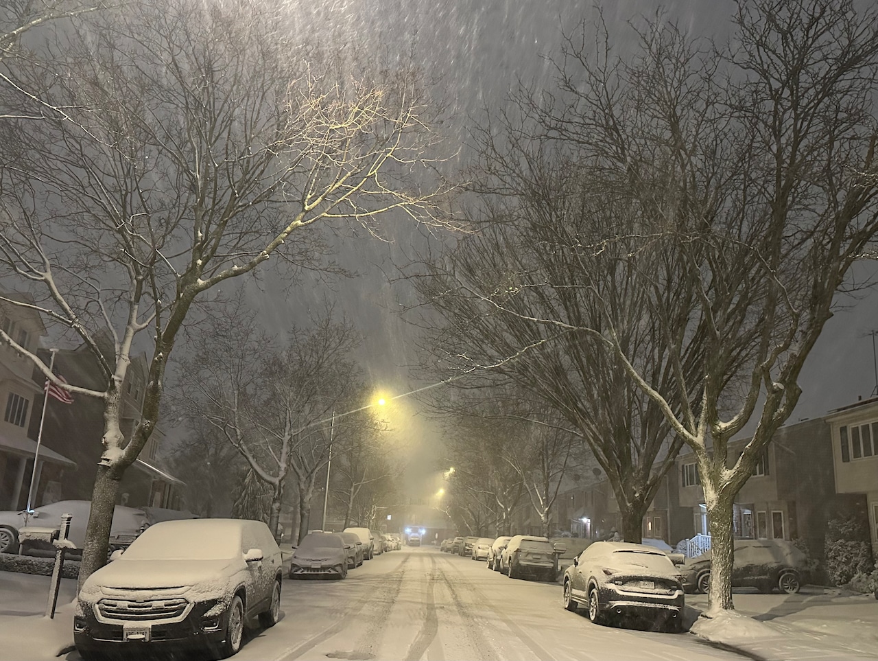
As winter grows ever closer, temperatures continue to gradually drop and the potential for snow becomes a reality. But just how low will those temperatures descend in New York and how much snow will the state receive this season?
In reality, the forecasts vary. However, recent outlooks generally suggest that it will not be an excessively cold winter with an abundance of snowfall.
Of four outlooks previously reported by the Advance/SILive.com, there is one that stands apart and calls for a “cold, snow-filled winter” in the Northeast, including New York, that being the Farmers’ Almanac.
The Farmers’ Almanac outlook
The Farmers’ Almanac (not to be confused with the Old Farmer’s Almanac) issued a winter forecast back in August.
That outlook suggests many parts of the U.S. are in store for some cold bursts over the course of the coming winter. The first of those cold snaps is forecast to hit in December and could result in a chilly holiday season.
Moreover, the almanac’s outlook said the coldest conditions will impact the Northern Plains through New England.
In terms of snow, the outlook forecasts that New England will see frequent snowstorms this winter while the Atlantic Coast is slated to experience a mix of “significant rain” and snow on a few occasions this season.
Unlike other outlooks, the Farmers’ Almanac believes New York will ultimately experience a snowy and cold winter. The forecast did not reveal exact forecast snowfall amounts or temperature estimates.
The AccuWeather outlook
In early October, AccuWeather released its own winter outlook for the approaching season.
The outlook revealed that New York City temperatures are expected to generally run one or two degrees above average from December through February.
For reference, in the Central Park area, the mean average temperatures for December, January and February are 39.1, 33.7 and 35.9 degrees Fahrenheit, respectively, according to National Oceanic and Astmospheric Administration data from 1991-2020.
Unlike the Farmers’ Almanac, AccuWeather also provided a snowfall estimate for the city. When the winter is said and done, the city should expect to have received between 17 and 21 inches of snow, according to AccuWeather.
Although the estimated snowfall total falls short of the historical average snowfall recorded in the city (29.8 inches), the anticipated snow amount exceeds the 12.9-inch tally recorded last winter.
Those living in upstate New York may want to take note of AccuWeather’s forecast for an active December around the Great Lakes. By the end of the season, Buffalo is expected to record between 90 and 100 inches of snow. Historically, the Queen City receives about 95.4 inches on average, as noted by AccuWeather.
The Old Farmer’s Almanac outlook
Unlike the Farmers’ Almanac, the Old Farmer’s Almanac generally called for milder and drier conditions in New York.
New York City, which is grouped with the Atlantic Corridor in the forecast, is expected to experience above-average temperatures and below-average precipitation amounts. The coldest periods are expected to be in mid-to-late December, as well as early and late January. Although generally forecast to be below average this winter, snowfall is expected in late December, early January and late February, according to the outlook.
The Northeast, which also encapsulates much of eastern and northern upstate New York, has a similar forecast.
According to the Old Farmer’s Almanac, temperatures will be above normal and precipitation — including snowfall — will be below normal throughout a good chunk of upstate New York. The snowiest periods in the Northeast are expected to be in mid-November, early and mid-December, as well as early February.
In the Lower Lakes, which includes Buffalo and Syracuse, a milder winter is also expected. Temperatures will be up and precipitation down, but snowfall will not vary greatly. As explained in the almanac, snowfall amounts will be near to below normal, with the most snow falling in mid-to-late November, December, early and late January, early February and early to mid-March.
The National Oceanic and Atmospheric Administration outlook
The most recent National Oceanic and Atmospheric Administration winter forecasts encapsulating December through February was issued on Oct. 16.
As previously reported, a seasonal temperature outlook for those three months revealed that the areas of New York from the Hudson Valley south, including New York City, have a 33-40% chance of generally recording above-average temperatures.
 This seasonal temperature outlook by the National Oceanic and Atmospheric Administration shows there is a probability of above-average temperatures in downstate New York for the winter of 2025-2026.(National Oceanic and Atmospheric Administration)
This does not mean that the city can’t experience a deep freeze at some point in the winter. It simply means that within those three months, it seems as though temperatures on the majority of days will exceed the average.
A seasonal precipitation outlook forecast that the vast majority of the state has equal chances of experiencing above-average or below-average precipitation amounts from December through February. In other words, it looks like a typical winter for snow and rain across most of New York.
The only exception to this outlook is the westernmost edge of the state, which had a 33-40% probability of precipitation amounts exceeding their average.
For reference, Central Park typically records 4.38, 3.64 and 3.19 inches of precipitation in December, January and February, respectively, a National Oceanic and Atmospheric Administration data set revealed.
If you purchase a product or register for an account through a link on our site, we may receive compensation. By using this site, you consent to our User Agreement and agree that your clicks, interactions, and personal information may be collected, recorded, and/or stored by us and social media and other third-party partners in accordance with our Privacy Policy.