
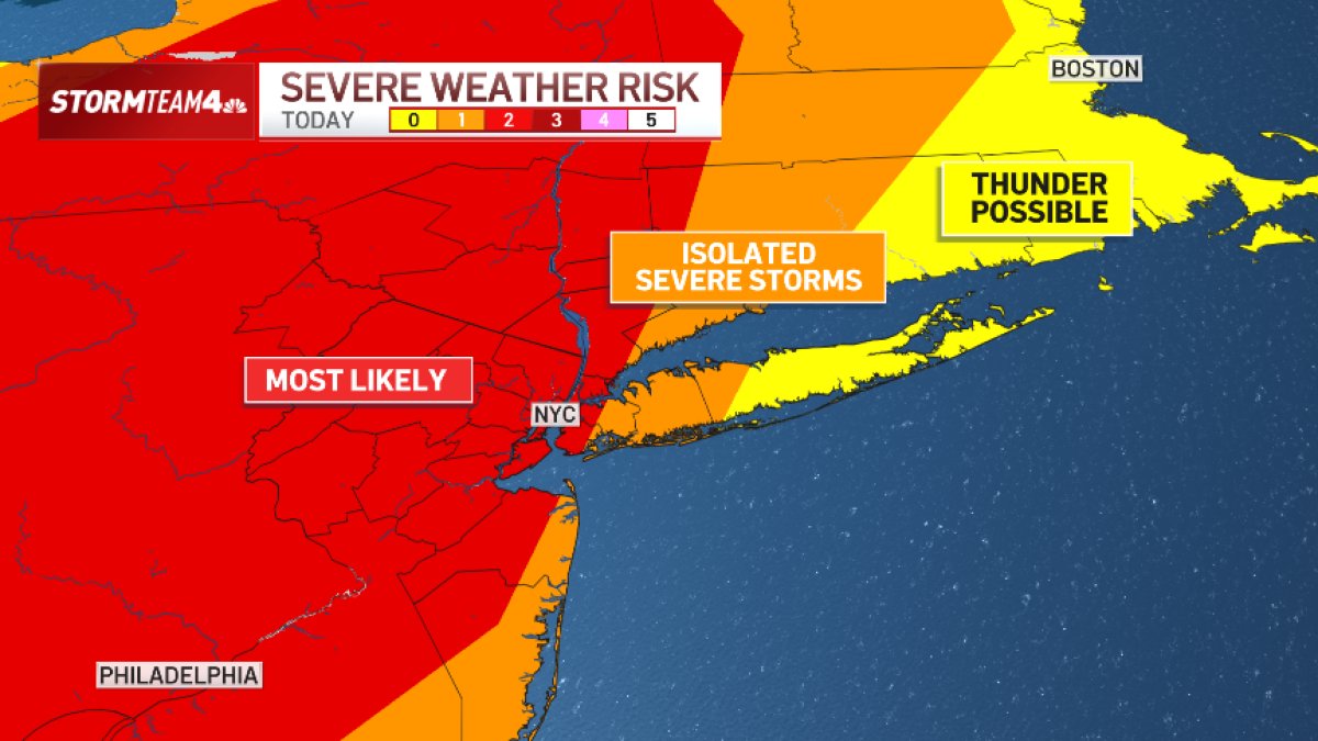
What to KnowAtmospheric moisture spikes today ahead of a cold front. Showers may develop as early as the morning, but strong to severe storms are expected to hold off until later in the afternoon.Rainfall rates topping 2 inches an hour could trigger flash flooding. That’s the primary threat, followed by damaging straight-line wind. Hail and tornadoes are less likely.Most of the tri-state will see less than 2 inches of rain total, but localized areas where the strongest storms develop could pick up 5 or more inches. The highest risk for flash flooding will be in the NYC area westward into Central New Jersey. Tornado risk is highest from central and northern NJ into the Hudson Valley. The strongest storms will be from mid-afternoon through early to mid-evening on Thursday before rain chances diminish. Expect some severe thunderstorm warnings.
In what has proved to be a blockbuster storm season in the tri-state area, yet another round of severe weather is set to slice through the New York City area Thursday afternoon and evening.
Downpours with rainfall rates topping 2 inches an hour could trigger flash flooding. Most in the tri-state should see less than 2 inches total, but localized areas where the strongest storms develop could pick up 5 or more inches of rain by the time the system moves out.
Follow all the latest developments in our live blog below.