
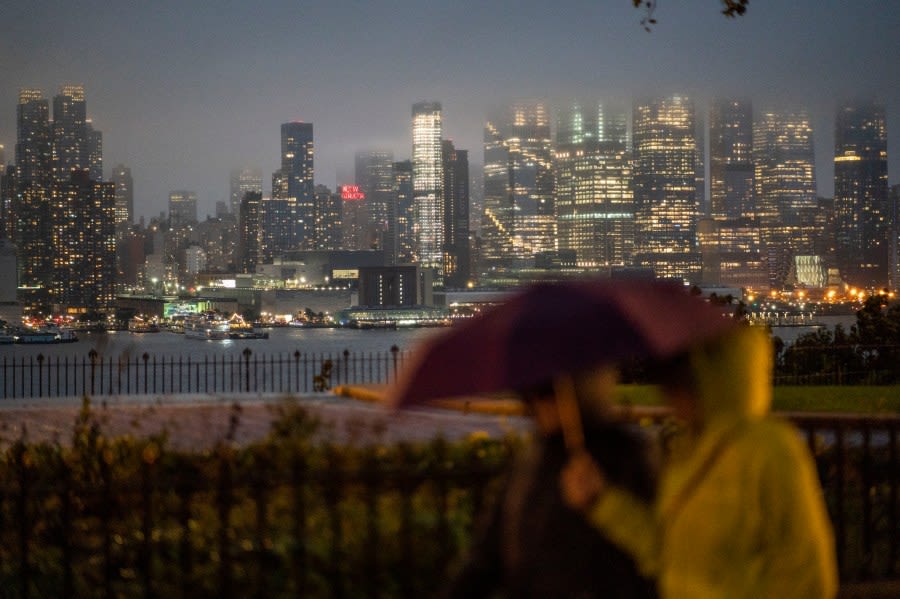
NEW YORK (PIX11) — A slow-moving storm system will bring the threat of severe weather for the tri-state area Thursday night.
Flash flood warnings have been issued for parts of the city and surrounding suburbs during the day, and some remain in effect into the evening. The flood threat will continue through 11 p.m., according to the National Weather Service.
NYC forecast and PIX11’s Weather Center
A severe thunderstorm watch is also in effect through 8 p.m., according to the National Weather Service. Some of the storms earlier in the afternoon have produced gusty winds, causing downed tree limbs in Staten Island and dime-sized hail in Browntown, New Jersey.
The threat of severe storms and heavy downpours should wind down during the evening hours on Thursday. The rest of the night could still feature a few scattered showers. Overnight temperatures will drop to around 70 degrees.
[sailthru_widget name=”Sailthru Widget Block” sailthru_list=”Breaking News” title=”PIX11 Breaking News”]
Friday should be a better day.
The sun will return, but a cold front could still cause a thunderstorm to flare up as a cold passes through the region. It will remain humid as temperatures top out in the lower 80s.
The humidity will finally drop by Saturday. It will be a gorgeous day with lots of sunshine. Temperatures will be in the lower 80s.
It does get a bit muggier by Sunday, but it should remain dry, with partly sunny skies. Afternoon highs will be in the mid-80s.
Copyright 2026 Nexstar Media, Inc. All rights reserved. This material may not be published, broadcast, rewritten, or redistributed.For the latest news, weather, sports, and streaming video, head to PIX11.