
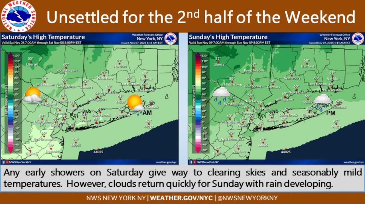
Mild temperatures in the lower to mid-60s degrees are expected across Staten Island Saturday, with morning showers clearing and skies becoming mostly sunny. A northwest breeze of 10 to 15 mph will develop following the passage of a weak cold front, according to the National Weather Service.
Rain will return to Staten Island on Sunday as low pressure approaches from the Ohio Valley, with a secondary low developing near Long Island. The weather service indicated precipitation will likely develop Sunday afternoon as a warm front approaches from the south, followed by a cold frontal passage late Sunday night. Temperatures will remain above normal, with highs in the upper 50s to lower 60s degrees, according to the forecast.
Lingering showers are possible Monday morning before ending by afternoon. Temperatures will be closer to normal Monday, followed by a significant drop Monday night with lows in the mid-30s in New York City, according to the forecast. Wind chills are expected to be in the 20- to 25-degree range for the New York City metro area and immediate coast.
Tuesday will bring notably colder conditions with highs only in the 40s and brisk winds. The weather service forecasted west winds gusting to 30 to 40 mph on Tuesday, making it feel even colder.
Temperatures will moderate Wednesday and Thursday, returning closer to normal values before becoming slightly cooler by Friday, the weather service said. Much of the week should remain dry after Monday, with southwest to west winds gusting up to 25 to 30 mph Wednesday and Thursday.
(A draft of this story was generated using AI. It was reviewed, edited and approved by Advance/SILive.com staff.)
If you purchase a product or register for an account through a link on our site, we may receive compensation. By using this site, you consent to our User Agreement and agree that your clicks, interactions, and personal information may be collected, recorded, and/or stored by us and social media and other third-party partners in accordance with our Privacy Policy.