
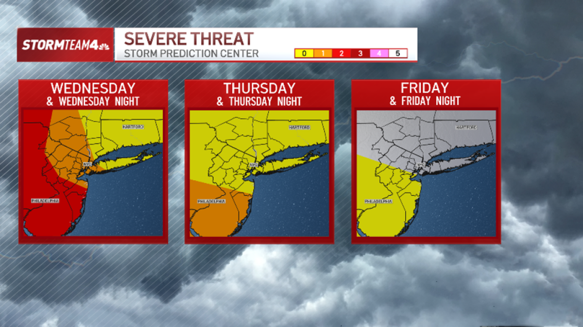
Unsettled weather will continue to impact the tri-state area Wednesday, Thursday, and possibly into Friday before a tranquil stretch of weather settles in for Labor Day weekend.
Wednesday afternoon and evening will be mainly dry, with strong storms moving through after midnight.
The greatest risk for severe weather will be in Western New York and Pennsylvania, where wind, flooding, hail and even tornadoes are all quite likely.
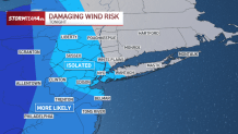
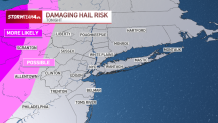

Closer to the coast, from the Jersey Shore to New York City, the Hudson Valley and points eastward, the atmosphere is more stable and the threat for severe weather is lower. If severe storms manage to survive this far east, isolated damaging wind gusts will be the threat to watch.
As for timing, the strongest storms will move through while most of us are asleep, between midnight and 6 a.m. Thursday. A few showers could linger into the morning commute.
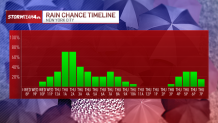
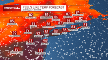
A second chance for strong to severe storms will come Thursday afternoon, as heat and humidity return to the region. Afternoon highs will top 80 degrees area-wide, but with high humidity it will feel much warmer than that.
In fact, along South Jersey the heat index will peak between 95 and 100 degrees Thursday afternoon, prompting a heat advisory for Monmouth and Ocean Counties and points west.
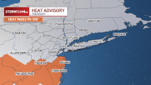
The greatest risk for severe weather on Thursday will be in a zone that overlaps with the heat advisory. Where temperatures get the hottest on Thursday is where the strongest storms will fire during the afternoon peak heat.
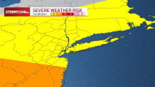
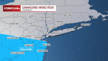
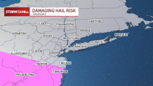
While flash flooding from storms this week is possible, the threat level is quite low.
Storms will be moving through the area quickly with training storms unlikely. That means any heavy downpours won’t last long over any particular location, keeping overall rainfall at manageable in most instances.
Minor flooding in low-lying or urban areas from the heaviest downpours is certainly possible, though. Always exercise caution when you’re on the road in heavy rain.
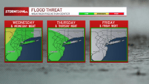
As we head toward the holiday weekend, our overall storm chances diminish each day. A rogue storm or two could fire in South Jersey as late as Friday afternoon, but cooler, drier air will quickly settle in for Labor Day weekend and bring the entire tri-state area superb weather from Saturday well into next week.