
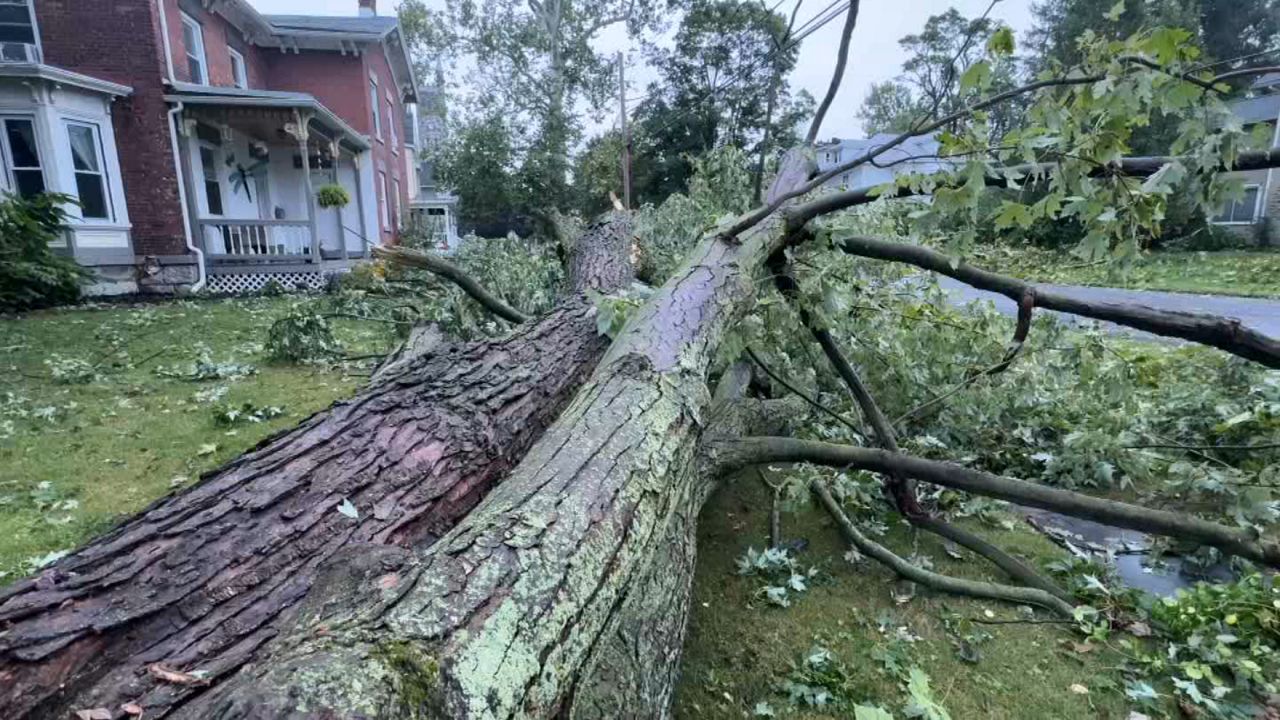
A strong storm system moved through Western and Central New York on Wednesday, leading to multiple tornado warnings — including at least three confirmed tornadoes — and dozens more thunderstorm and flood warnings. The storms also knocked out power to thousands of residents.
The National Weather Service on Thursday confirmed an EF1 tornado with estimated peak winds of 105 mph touched down in the Niagara County hamlet of Olcott from 6:07 to 6:08 p.m. This storm caused significant tree damage in the area, according to officials, carving a path from Main Street to Krull Park.
Niagara County communities were one of the hardest hit spots in the region.
The NWS also says an EF1 tornado impacted areas east of Alexander in Genesee County. Officials say that storm with estimated peak winds of 110 mph continued from 7:29 to 7:35 p.m. near Linden and along Skates Hill Road just north of the Genesee-Wyoming county line.
In Orleans County, the NWS says an EF1 tornado with estimated peak winds of 105 mph moved into Medina from 6:45 to 6:47 p.m. Officials say the tornado caused significant tree damage to several homes on the east side of East Shelby Road and uprooted trees in a forested area.
Volunteer firefighters were on overdrive, responding to callers reporting flooded basements, downed trees and power lines.
Tornado warnings popped up in multiple counties, including Cayuga, Chenango, Cortland, Genesee, Livingston, Madison, Monroe, Niagara, Onondaga, Orleans, Seneca and Wyoming.
Across the Rochester region, Rochester Gas and Electric (RG&E) is reporting that more than 1,7200 customers were still without power as of 6:53 p.m. Thursday. That figure is down from more than 20,000 around 10 p.m. Wednesday.
New York State Electric & Gas (NYSEG) is also reporting more than 10,500 customers are without power as of 6:53 p.m. Thursday, down from approximately 17,000 Wednesday night.
National Grid outages were down to approximately 1,000 as of 6:50 p.m. The company says it has restored service to 36,000, or 92%, of the more than 39,850 customers who were impacted in its service area.
Wednesday afternoon, communities from Syracuse and Utica down to the Pennsylvania border were under a flood watch, causing hectic travel for some.
The NWS says they are investigating evidence of both a tornado and strong strait line winds in the Waterloo area, and a distinct tornado path near the town of Fayette. Final assessments of NWS surveys are expected later Thursday or early Friday morning.
Residents are being asked to avoid any downed power lines if they come across any.