
Christopher Gress and video credit: Mr. G
16 hours ago
NEW YORK, N.Y. (PIX11) — After putting up with humid air and the threat of showers and storms for most of the week, residents will see pleasant conditions return just in time for Labor Day weekend.
As for Friday evening into Friday night, you can expect humidity levels to continue to drop as a cold front pushes south of the area. A lingering shower or storm is possible in parts of southern New Jersey, but areas to the north should only see a few clouds. Overnight temperatures will primarily be in the 60s, although a number of 50s are likely north and west of the city.
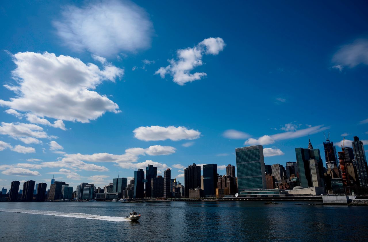
A further drop in humidity is in the forecast for Saturday as the winds shift to the north. There will be plenty of sunshine to go around, and temperatures will be very pleasant. Look for afternoon highs in the mid 70s to low 80s.
Another sun-splashed day is in store for Sunday as high pressure over the Great Lakes takes control. Humidity levels will remain low as well, with winds out of the northeast. Afternoon temperatures will only be in the mid to upper 70s.
NYC forecast and PIX11’s Weather Center
Keep the sunglasses handy for Labor Day as more sunshine is in the forecast. The aforementioned high-pressure system will park itself over our region, keeping all wet weather well to the south. Afternoon highs will reach the mid 70s to around 80 degrees.
As of now, Tuesday and Wednesday are looking bright and dry as well, but we’ll have to keep an eye on a cold front moving down from Canada.
Christopher Gress is a meteorologist and digital content producer at PIX11. He joined the station in 2020 as a weather producer. Chris is a New Jersey native and grew up in Bayonne. You can find more of his work here.