
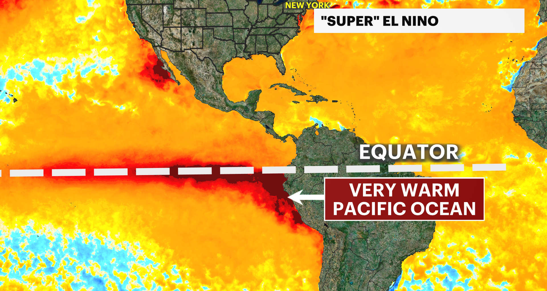
You may have heard of something called a “Super El Niño.”
An El Niño you typically hear of with warmer-than-average equatorial Pacific waters, but this time, much, much warmer than average. As a result, there’s a huge impact on global weather patterns.
A typical El Niño winter across the United States features a wetter South, a drier Midwest, and a warmer North, and the latest official forecast from NOAA factors in this super El Niño.
It brings the jet stream—the storm track—right over our area, which will mean a fairly stormy winter ahead. But that does not necessarily mean a snowier winter.
Higher precipitation values, factoring in both rain and snow, but higher temperatures as well. So we may be in this rain-snow “battleground” across our area.
Therefore, good news that we have a hurricane “graveyard”—tropical storms have difficulty forming because of strong trade winds and dry air in the Atlantic Ocean. But prepare for a stormier winter, as this super El Niño could certainly rival the ones from 1877 and 1878.