
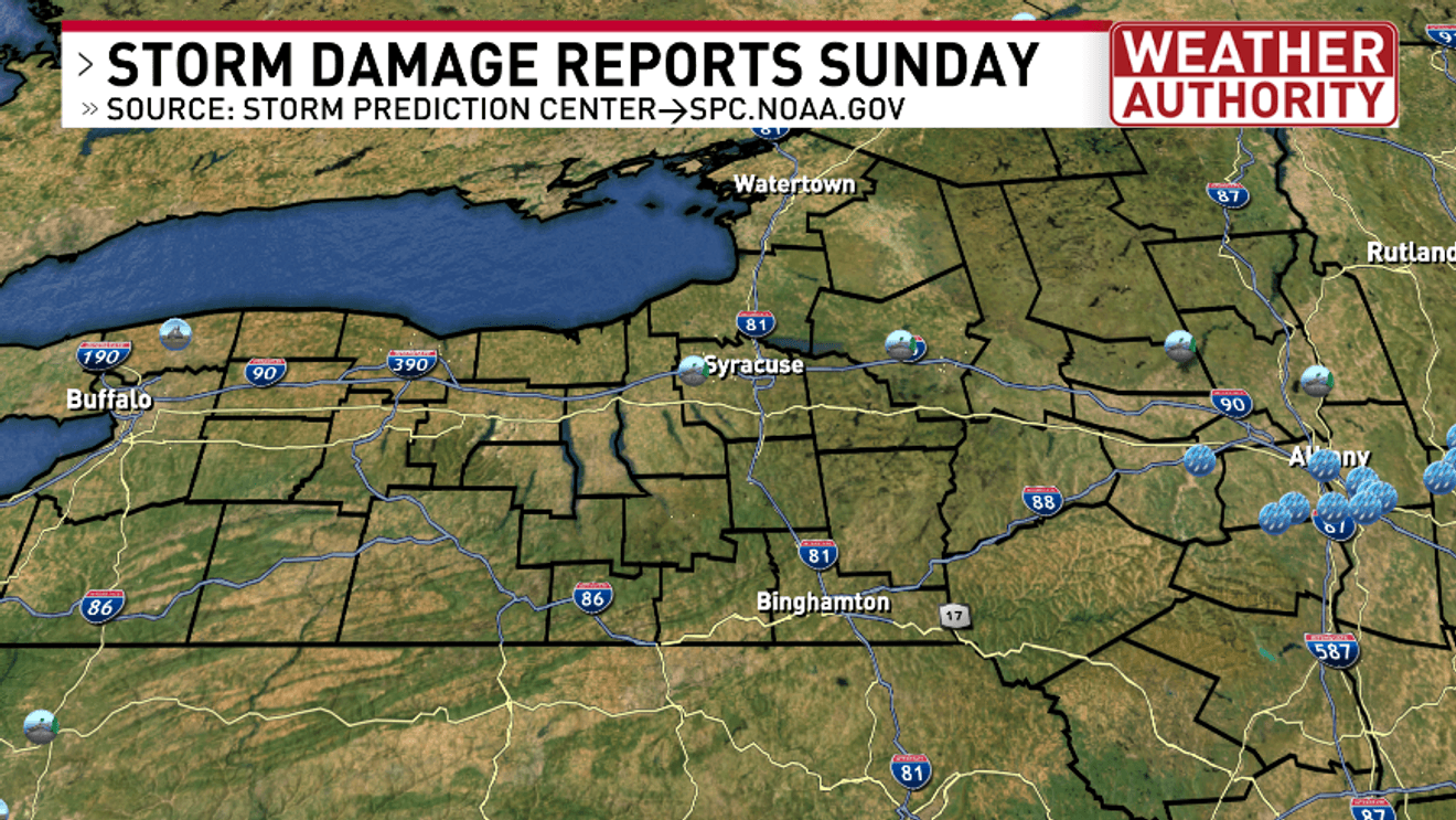
SYRACUSE, N.Y. — If you received a severe thunderstorm warning on your phone Sunday and did not receive any tree or property damage consider yourself and your family to be very lucky.
Not all warnings for weather yield damage after the storms pass. You can see on the map here the number of damage reports were few and far between versus other severe weather days we’ve had so far this year.
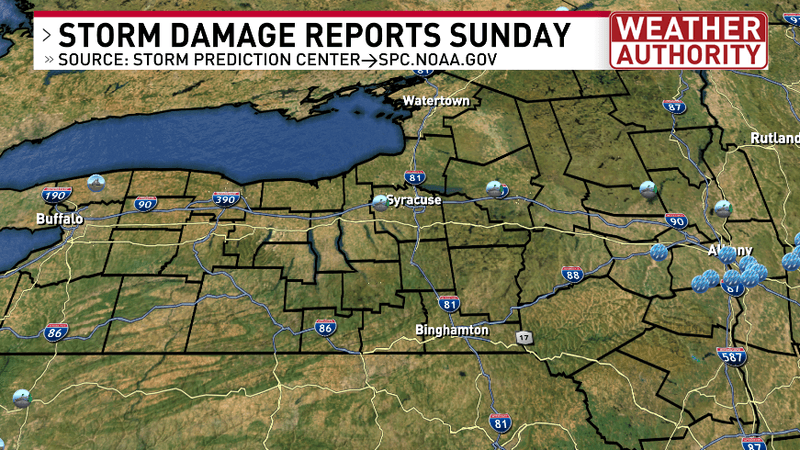
STORM DAMAGE MAP SUNDAY NEW YORK STATE
Here’s a look at southwestern Onondaga County from Sunday afternoon storms moving through between 3 and 4 p.m..
This report was northeast of Skaneateles, east of Rt 321, south of Stump Road and west of Van Camp Road.
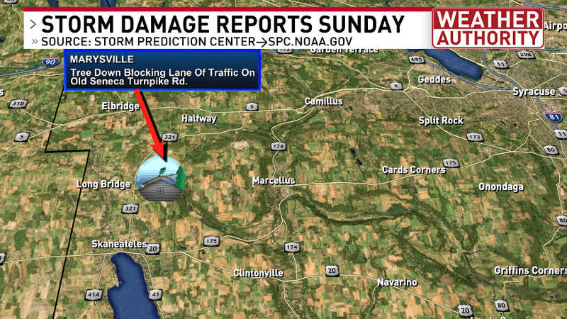
STORM DAMAGE MAP SUNDAY ONONDAGA COUNTY
Then during and after 6 p.m. storms moved east of Syracuse impacting parts of Oneida County.
This report was along north south route 26 between the NYS Thruway and Rt 5.
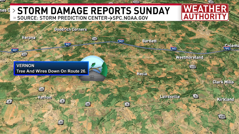
STORM DAMAGE MAP SUNDAY ONEIDA COUNTY
Beyond CNY there was a report of some flash flooding out in WNY northeast of Buffalo in the suburb of Lockport.
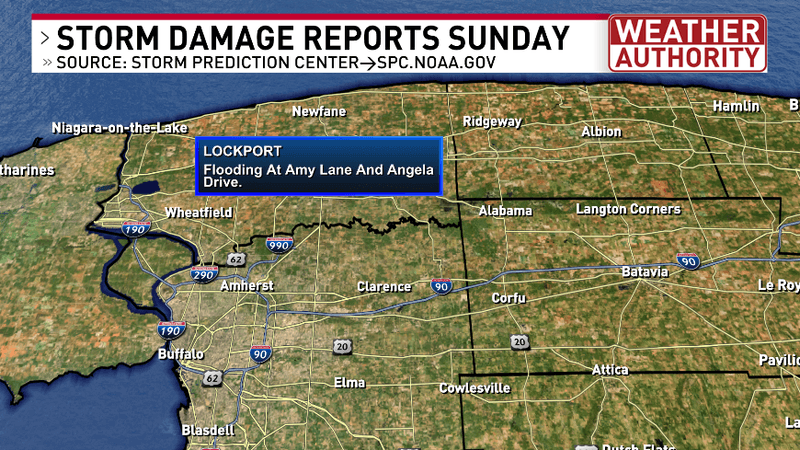
STORM DAMAGE MAP SUNDAY WNY
Lastly, there were some reports of trees down in the eastern Mohawk Valley and Capital Region north of Albany.
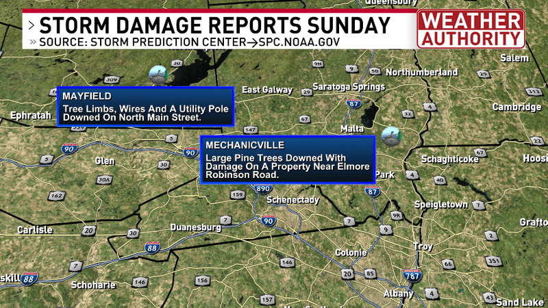
STORM DAMAGE MAP SUNDAY CAPITAL REGION
If any additional reports of storm damage come into our weather office, we will update this story accordingly.