
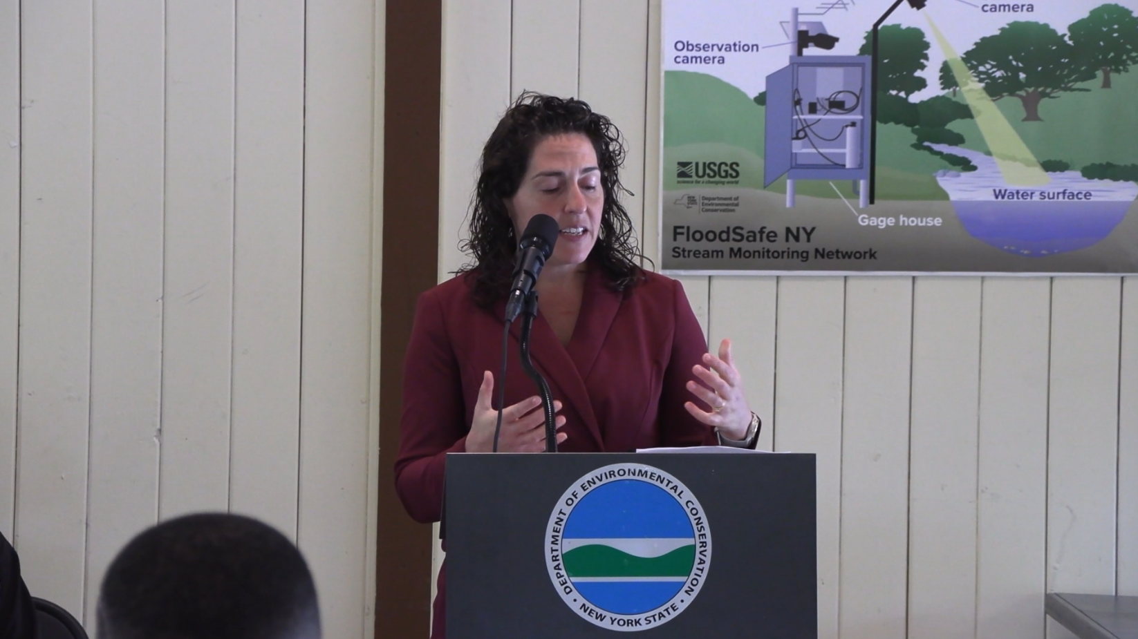
NEW YORK — New York State is hoping to better predict when flooding will impact neighborhoods.
FloodSafe New York is a partnership between the state Department of Environmental Conservation (DEC) and U.S. Geological Survey. It will enhance the state’s streamgage network, giving local governments access to the water data needed to identify flooding patterns and hydrologic trends.
“This builds on DEC’s network of gauges with the U.S. Geological Survey so we have real time data on what is happening in streams and rivers, which can save lives,” said Amanda Lefton, DEC commissioner.
Lefton went on to say it’s not just going to help with flood prep but also monitor things like drought and water quality regulations.
“As part of this program, we are going to modernize 123 existing stream gauges in New York and we’re going to install 200 new temporary gauges to use the gauge network using the national weather model,” Lefton explained.
For more information on the program, click here.