
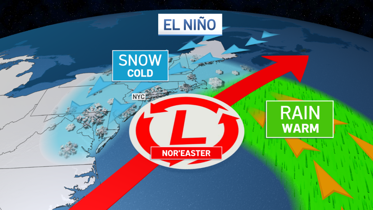
The early fall nor’easter that chewed away the beaches up and down the East Coast may very well put the tri-state area behind the 8-ball as we head into a winter dominated by a super El Niño.
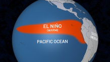
An El Niño, by definition, is warmer-than-normal water in the equatorial Pacific Ocean off the coast of South America. The ocean temperatures here influence global atmospheric wind flow and, in turn, the winter weather patterns we experience in the northern hemisphere.
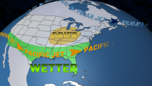
Typically, El Niño winters favor weather patterns that promote nor’easters. A moisture-laden Pacific jet stream sweeps across the southeastern U.S. and up the east coast, funneling deep moisture our way. Storm systems develop along the pacific jet stream and pound the coast.
The storm tracks are typically far enough south to keep them offshore from the tri-state, which can deliver the pounding northeasterly winds that further erode beaches.
Storm Team 4Storm Team 4
This year, we’re heading into winter under “super” El Niño conditions, meaning the temperature anomaly in the equatorial Pacific is unusually high – around 3 degrees above normal – and forecasted to increase into the heart of winter.
That could mean multiple, super-charged nor’easters for the East Coast, each one lashing our already-battered beaches. If it happens, it could be catastrophic.
If we add frigid temperatures to the equation, like we had last winter, nor’easters could deliver some serious snow this winter, too.
We’re watching for cold air signals as we head through fall. One key factor in predicting the likelihood of Arctic outbreaks in the Northeast is early-season snowpack in Siberia. Yes, in Russia!
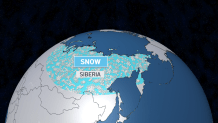
If the snowpack in Siberia winds up being above normal through October, it will likely lead to a weak mid-winter polar vortex at the north pole. And a weak polar vortex leads to pockets of arctic air plunging into the northeastern U.S.