
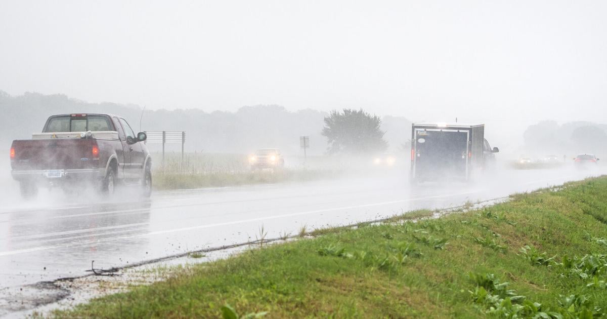
Rainy conditions are forecasted to continue across Manhattan through Thursday as another round of showers and thunderstorms move through the area, with several inches of additional rainfall possible.
Manhattan recorded 6.47 inches of rain for September through Tuesday, according to the National Weather Service in Topeka. Tuesday alone brought 0.13 inches of rain to the city, pushing the monthly total well above the 1991-2020 September normal of 2.62 inches.
The U.S. National Weather Service in Topeka forecasts widespread rainfall of 2 to 4 inches across north central and northeast Kansas with locally higher amounts around 6 inches possible in some areas.
For Manhattan, Thursday carries a 100% chance of precipitation, with additional showers and thunderstorms expected. The rainfall is part of a slow-moving weather system bringing repeated rounds of moisture across the region.
The NWS Topeka office said the combination of additional heavy rain and already-wet conditions could increase the potential for flooding.
A flood watch issued for Riley County began at 7 p.m. Tuesday and is scheduled to remain in effect through 6 p.m. Thursday. The watch covers the possibility of flooding from excessive rainfall.
The initial forecast called for widespread rainfall totals of 1 to 3 inches for the region, with locally higher amounts possible. That forecast increased Tuesday afternoon to 2 to 4 inches, with isolated totals around 6 inches possible.
The rain is expected to taper after Thursday, with Friday’s forecast calling for sunny skies and a high near 67 degrees.