
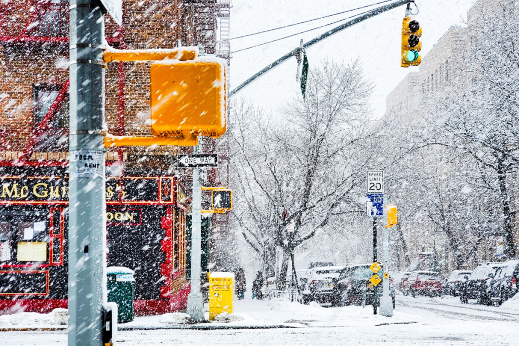
After a mild start to fall, recent temperature drops across the five boroughs have reminded New Yorkers exactly what season it is.
As autumn’s crisp air settles in and sweaters give way to heavier winter coats, one question inevitably begins to swirl across the city: When will the first snowflakes of the season fall?
While autumn foliage is still peaking across Central Park and Prospect Park, weather enthusiasts and local commuters alike are already eyeing the upcoming winter forecast. If you’re wondering whether to pull your heavy jacket out of storage early this year, here is what the experts at the National Weather Service (NWS) and NOAA’s Climate Prediction Center are projecting for NYC’s upcoming winter setup.
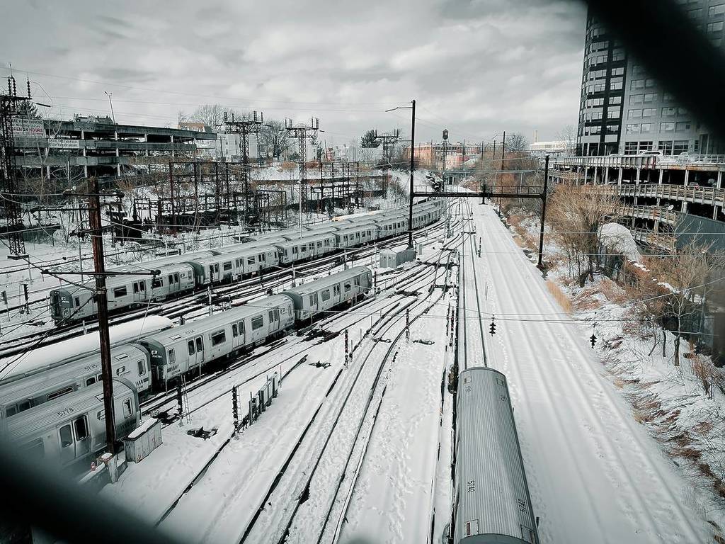 Unsplash / Prasad Panchakshari
🗓️ When Does NYC Usually Get Its First Snowfall?
Before diving into short-term outlooks, it helps to look at historical climate data. According to official NOAA 1991–2020 Climate Normals recorded at the Central Park Observatory:
First Flurries / Trace Snow: Typically arriving in late November to early December.
First Measurable Snowfall: Historically occurs around early to mid December.
First Accumulating Snowfall: Generally lands around mid to late December.
While early snow events in late October or early November are not entirely unheard of in New York history—such as the infamous Halloween snowstorm of 2011—they remain statistically rare anomalies.
❄️ What Is The National Weather Service Predicting For This Season?
According to seasonal climate guidance published by NOAA’s Climate Prediction Center (CPC), the broader atmospheric patterns for the Tri-State area point toward slightly elevated chances of above-average temperatures across parts of the Northeast leading into late autumn and early winter.
Because, as you can imagine, persistent cold air is the primary ingredient required for snow, a milder fall transition often shifts the date of the first measurable snowfall closer to—or even past—the mid-December average.
According to local meteorologists at the NWS New York, NY forecast office (OKX), short-range forecasts do not indicate any imminent cold snaps or freezing air masses strong enough to produce snowflakes in the immediate future.
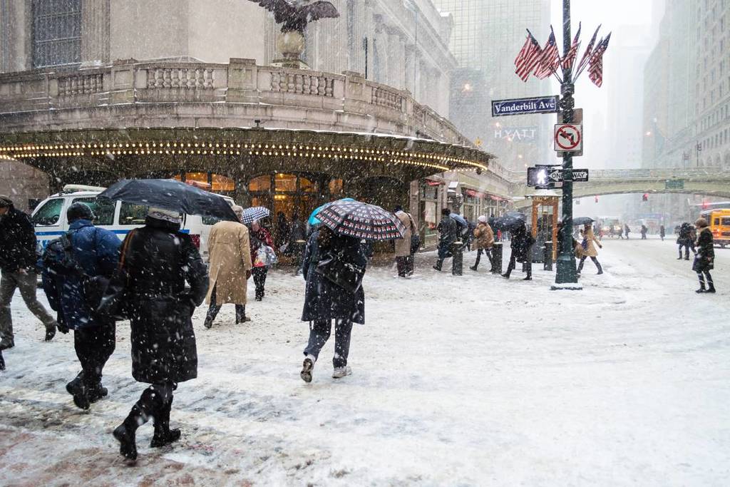 Shutterstock / Andrew F. Kazmierski
The arrival of NYC’s winter weather relies heavily on large-scale climate drivers, such as ENSO (El Niño–Southern Oscillation) phase transitions and polar vortex behavior.
When mild conditions dominate early in the season, precipitation that might otherwise fall as snow usually manifests as chilly rain showers instead. According to meteorologists, even if cold air dips down from Canada, coastal water temperatures along the Atlantic Ocean often keep New York City’s urban heat island slightly too warm for early-season accumulation.
🔮 What To Expect In The Coming Weeks
For now, New Yorkers can enjoy crisp autumn weather without worrying about shoveling sidewalks just yet. If current seasonal trends hold, the city’s first glimpse of flurries is most likely to arrive toward the end of November or early December, with any real measurable snow holding off until mid-December.
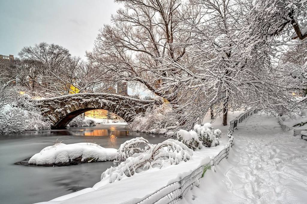 Shutterstock / John A. Anderson
🌐 For day-to-day weather updates and real-time localized updates across the five boroughs, check the official National Weather Service New York Office or monitor seasonal trends via the NOAA Climate Prediction Center.
Don’t miss out! Follow us on Facebook, Instagram, and now on WhatsApp, too!