
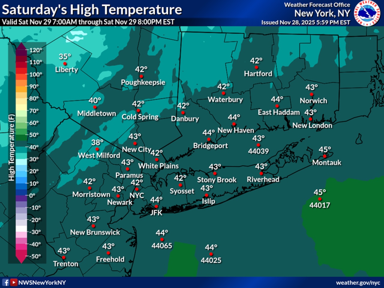
STATEN ISLAND, N.Y. — Borough residents should expect colder than average temperatures on Saturday, hovering in the low to mid-40s in the afternoon, according to the National Weather Service. Clear skies Saturday night will allow temperatures to drop rapidly into the upper 20s to low 30s.
Sunday will bring a shift in the weather pattern as clouds increase during the morning hours. Rain is likely by Sunday afternoon, with temperatures climbing to the low to mid-50s along coastal areas. The National Weather Service forecasts gusty winds near the coast, potentially reaching 25-30 mph Sunday afternoon. Precipitation will move out quickly Sunday evening with dry conditions returning by midnight.
Monday will see a return to colder temperatures with highs only reaching the upper 30s to low 40s under mostly clear skies. Winds will diminish throughout the day as high pressure builds briefly over the region.
The most significant weather event appears to be developing for Tuesday into Tuesday night, when a coastal low pressure system could bring the first winter weather of the season to the New York City area. While there remains uncertainty about the storm track, current forecasts suggest Staten Island will likely see rain, though a rain/snow mix is possible at the onset. The National Weather Service indicates coastal areas have only a 10-25% chance of seeing more than an inch of snow, with higher probabilities inland.
Below normal temperatures are expected to continue through Friday, with high pressure returning for the second half of the week except for a cold front passage on Thursday.
Residents should monitor updated forecasts as Tuesday’s potential winter storm approaches, as small changes in the storm track could significantly affect precipitation type and amounts.