
Who is getting the most snowfall in New York? According to Weather.gov, the biggest snowfall totals are expected north and west of New York City.
Interior sections of the Lower Hudson Valley — particularly north of I-84 — could see 8 to 12 inches, with some spots getting even more.
Heavy, wet snow is likely during the Tuesday morning commute, and snowfall rates may reach 1 to 2 inches per hour, according to the National Weather Service.
Interior parts of northeast New Jersey, southern Westchester County, and coastal Connecticut are also in line for significant accumulation, with forecasts calling for 6 to 12 inches.
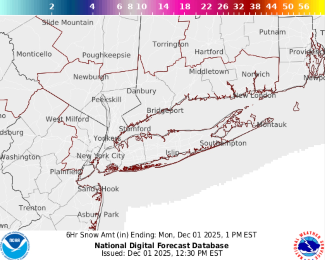
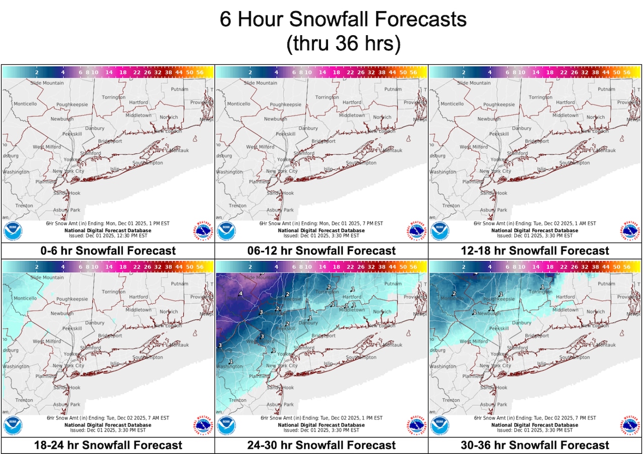 The color-coded maps from the National Weather Service show the sharp gradient: The heaviest snow, from 8 to 12 inches, is forecast for interior Lower Hudson Valley and parts of interior New Jersey, while NYC and Long Island fall into the lighter range — generally 1 to 4 inches, possibly up to 5 to 8 if temperatures drop.Weather.gov
Closer to the city, amounts drop off. The New York City metro area and Long Island could see 5 to 8 inches, though totals will depend on the storm’s track and how quickly rain changes to snow.
Farther north, the Albany region — including Amsterdam and Montgomery counties — is forecast to receive 4 to 8 inches Tuesday, with heavy snow possible during the day.
As for New York City, the forecast calls for a rain-snow mix early, then mostly rain.
Little or no accumulation is expected in the five boroughs, but if the storm trends colder, those numbers could rise, according to forecasters.