
STATEN ISLAND, N.Y. — A series of winter weather systems are set to impact the New York City area with an Arctic cold front arriving Thursday, followed by chances for light snow accumulation early next week, according to AccuWeather.
Chad Merrill, a senior AccuWeather meteorologist, detailed the upcoming weather pattern that would bring colder temperatures and several opportunities for snow to the area, including Staten Island.
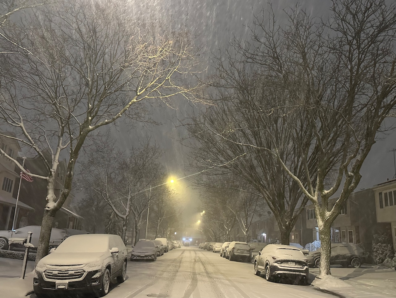
Unlike other parts of the Northeast that experienced heavier snow Tuesday with accumulations of up to six inches, the New York City area is expected to see modest snowfall amounts from these upcoming systems.
“There’s an Arctic cold front that’s going to come through on Thursday,” Merrill said. “It’ll bring a very cold air mass in for sure.”
The Thursday system will likely be accompanied by gusty winds that could exceed 40 mph. A minor weather system will follow Friday into early Saturday, but Merrill indicated it would have little impact on the boroughs.
“There could be a few flurries that make it into the New York City area early Saturday, but there won’t be any snow accumulation,” Merrill explained. “It would be just a couple of flurries here and there during the overnight Friday into early Saturday morning.”
The meteorologist said there’s a greater chance of a modest snow coating early next week, driven by an active polar jet stream bringing cold air to the eastern United States.
There is some opportunity for at least a couple of snow showers once we get to Dec. 9, 10 and 11, he said.
Merrill estimated that about a half-inch of snowfall could accumulate from the collective impact of these systems.
“The snowfall amounts probably wouldn’t be any more than an inch,” he said.
Residents should also be aware of potentially hazardous travel conditions and “a couple of slippery spots,’’ early next week as these systems move through.
“Due to the cold nature of the air coming in, there could be some issues with some of the pavement being a little bit slippery,’’ he said.
According to the meteorologist, between next Monday afternoon and Thursday, multiple frontal systems will make a significant impact, bringing with them the chance of snow showers and slick conditions.
While Thursday’s front may produce flurries on Staten Island, Merrill noted that more meaningful snow showers would be back off to the west, toward Albany, about 180 miles from New York City.