
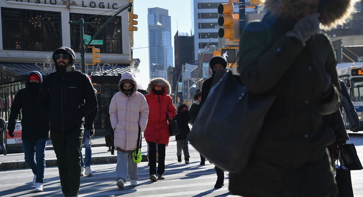
It’s been a frigid week in New York City, and it’s just getting chillier, with temperatures potentially reaching record lows and feeling like they’re in the teens on Friday.
A cold front moving into the metro area from Canada Thursday night will bring temperatures down to the upper 20s and lower 30s heading into Friday, according to the National Weather Service.
Wind chill will make those temperatures feel like they’re in the teens, said NWS meteorologist John Cristantello.
“ Be prepared — just bundle up,” Cristantello said. “Try not to leave any exposed skin, if possible. Stay indoors, you don’t wanna be outside for extended periods of time if you don’t have to be.”
Friday’s temperature will be so low, forecasters say it may break records in certain parts of the city where the NWS keeps track of temperatures.
LaGuardia Airport’s record low for Dec. 5 is 21 degrees, and the forecast is for 20 degrees. At JFK, the record low for the day is 20 degrees, and the forecast is for 21 degrees. Central Park’s lowest recorded temperature was 11 degrees Fahrenheit in 1926, though that’s unlikely to be broken this year.
Friday’s dip in temperature will be followed by warmer temperatures over the weekend, which will drop again on Monday when another cold blast of air from Canada is expected to put temps in the upper 20s and lower 30s.