

NEW YORK CITY – Hurricane season and winter – are the two connected?
FOX 5 NY Meteorologist Audrey Puente is breaking down the science behind it all.
Big picture view:
This year’s Atlantic hurricane season has been unusual, busy over water, but largely missing the coast of the United States. By late September, we hadn’t recorded a single U.S. hurricane landfall, the first time this has happened in a decade. Only one tropical storm made landfall – that was Chantal in South Carolina.
Does fewer landfalls equal less snow?
Dig deeper:
The short answer is no, Puente says, because landfalls are about tracks, timing and steering currents in late summer and fall. Winter depends on a different playbook that includes the El Niño Southern Oscillation, the jet stream, the polar vortex and regional ocean patterns.
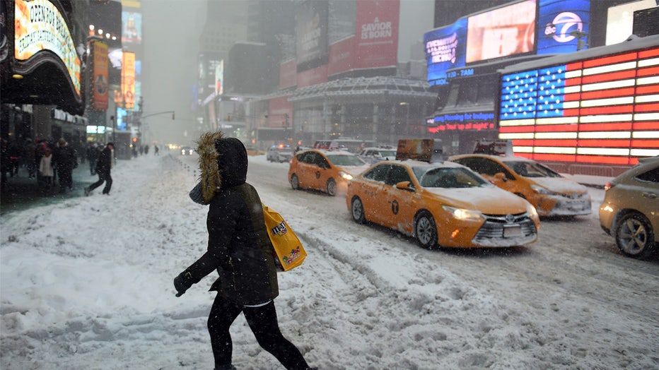
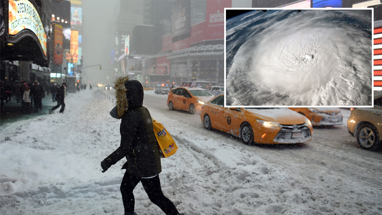
NEW YORK, NY – JANUARY 23: Pedestrians cope with snow covering sidewalks and streets in Time Square on January 23, 2016 in New York City. A major Nor’easter is hitting much of the East Coast and parts of the South as forecasts warn of up to two feet
A year with few landfalls can still flip to an active weather pattern. However, there’s no direct correlation between the hurricane season and winter in North America.
What’s next:
Puente says what will shape our winter is La Niña, the naturally recurring climate pattern in the Pacific Ocean when trade winds strengthen, pushing warm water westward, allowing cooler water to surface near South America. That cooling changes global wind patterns, often shifting the jet stream northward across the U.S.
Typical La Nina impacts. (FOX Weather)
La Niña is expected to persist through early 2026, which could bring a few active cold snaps later this winter. In addition, the polar vortex is expected to be disrupted by the Siberian high, which opens the door for frigid air to surge south into the United States.
The bottom line, Puente says, is landfalls and snowfalls don’t go hand in hand, but we can expect a season of sharp swings from mild spells to sudden bursts of Arctic air.