
STATEN ISLAND, N.Y. — While the worst of the weekend snowstorm is over, New York City is expected to experience brutal cold conditions into Monday.
AccuWeather recently issued a weather warning for the New York City area, advising that temperatures will drop into the teens Sunday night into Monday morning.
As the thermometer plummets, the weather alert warns that any moisture, slush or untreated surface will quickly refreeze after sundown.
Overnight, gusts will reach between 30 and 40 mph, with the possibility of tree branches being brought down, causing isolated power outages, according to AccuWeather.
Wind chill for the New York City area will make the temperatures feel like zero degrees near the coast, with more interior areas feeling as low as -8, according to the weather warning.
At these temperatures, frostbite can occur on exposed skin in as little as 30 minutes, AccuWeather says.
Monday morning travelers will also need to be wary of black ice on their commute, according to AccuWeather.
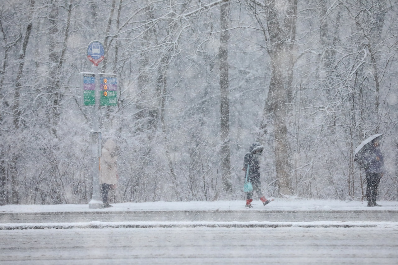
In all, Staten Island saw about three inches of snow deposited from Saturday night into Sunday morning. Snowfall totals varied significantly across the region, however, according to AccuWeather Meteorologist Tyler Royes.
Newark Airport recorded 2.4 inches, while areas further east saw much higher accumulations: Munchen received nearly five inches; Plainfield, 4.7 inches, and Cranford, 4.5 inches.
To the east of Staten Island, John F. Kennedy Airport reported approximately 2.6 inches.
Monday is expected to be mostly dry but will become increasingly cloudy due to a separate storm system passing to the north.
The day will be mostly cloudy, particularly during the afternoon and evening hours, Royes said.
Monday morning will have a frigid “real feel” temperature of 3 to 5 degrees, requiring extra layers for warmth.
“Temperatures are going to be near zero as kids go out to the bus stop tomorrow,” Royes said.
Temperatures are forecast to climb into the mid-30s on Tuesday before a more significant warm-up midweek. Highs are projected to reach 44 degrees on Wednesday, 49 on Thursday, and 47 on Friday, according to Royes.
As temperatures warm up, another weather system will approach the area. Breezy conditions are expected to return Wednesday night through Friday, bringing rain Thursday night.
There is a high risk of black ice in the coming days due to a daily cycle of snow melting during the day and refreezing on untreated surfaces overnight.
“People definitely should be worrying about anything that melts Sunday,” Royes said. “We are worried about there being icy spots where area are not treated.”