
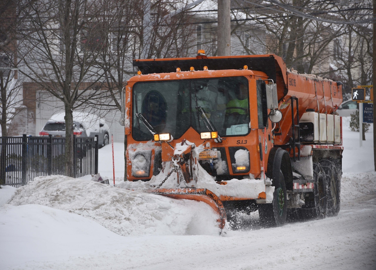
STATEN ISLAND, N.Y. — The incoming snow storm this weekend will serve as the first big test for a new city snow removal strategy first announced in 2023.
Outgoing Mayor Eric Adams and then-Sanitation Commissioner Jessica Tisch unveiled the new technology, called Bladerunner 2.0, saying it would centralize the deployment and real-time tracking of snowplows, salt spreaders and brining vehicles.
“We’ve never been more ready for snow season, thanks to our new Bladerunner 2.0 software that will allow us to better track and support our fleet of approximately 5,000 vehicles across all five boroughs,” Adams said at the time.
Forecasters say a clipper storm will head into Staten Island Friday night, leaving some of the biggest snow totals seen here in years.
The National Weather Service has issued a Winter Storm Warning for the area, expecting the storm to drop as much as 7-8 inches of snow on the borough.
In anticipation of the storm, New York City began highway brining operations at midnight. Applying brine before snow begins falling helps reduce roadway accumulation.
This year, with new investments in brine equipment, the Department of Sanitation is not only applying brine to highway ramps and shoulders, but also the main beds of all highways, a total of 700 lane miles.
When a plowable depth of 2 inches or more is reached, residents will be able to track the progress of DSNY snow removal vehicles at nyc.gov/PlowNYC.
The winter storm will move into the region Friday evening, with snow developing from the northwest to the southeast.
According to the weather service, the heaviest snowfall is expected between 7 p.m. and midnight Friday, when snowfall rates could reach 1-2 inches per hour. Brief periods of even heavier snow exceeding 2 inches per hour are possible in the most intense bands.
Snow will continue overnight before gradually tapering off Saturday morning.
BladeRunner 2.0 features significant technology enhancements to better support plowing, salting, cleaning, and collection operations, including:
Enhanced GPS tracking data for broader time windows, multiple vehicles, and extended history.Google map integration to provide a modern view — with satellite and street view access — for vehicles and facilities.Real-time brine progress data.New visual layer data with brine coverage locations, snow preposition points, and protected bike lane information.Ability to locate vehicles of interest through proximity features and advanced time frame and location search capabilities.Significantly enhanced search capabilities. New cloud-based system to allow for more concurrent users and faster response times.