
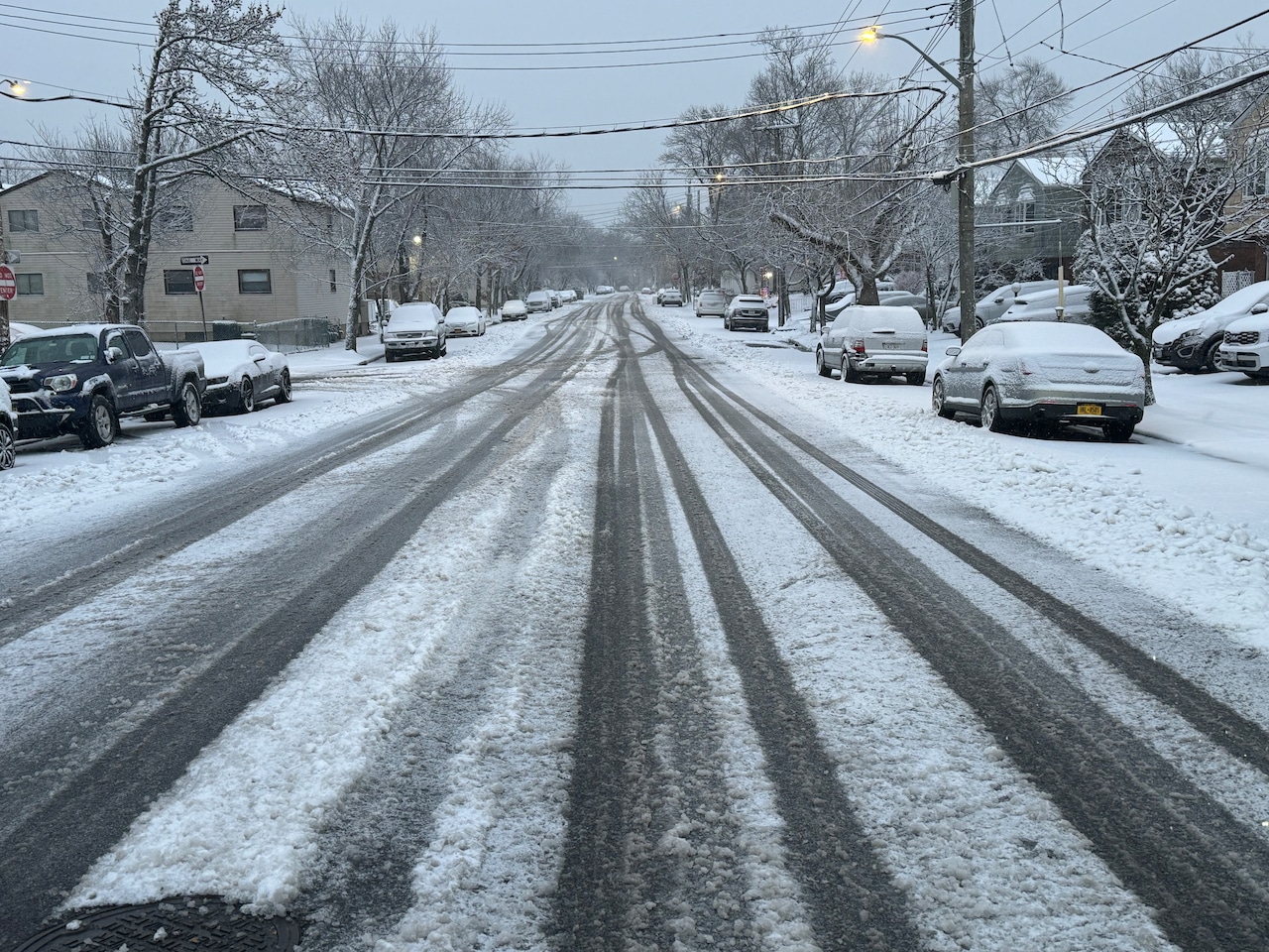
STATEN ISLAND, N.Y. — Staten Island residents who were hoping for snowfall projections to be inaccurate got their wish. Although shovels will still be required for what snow did fall, total accumulations fell short of their estimated projections.
As of 6:30 a.m., Midland Beach received about 2.5 inches of snow; Great Kills had about 2 inches of snow on the ground. These measurements are low compared to the 7-to-9-inch snowfall forecasts issued by the National Weather Service.
In Central Park, 4.3 inches of snow fell. This is the first snow event in which Central Park has observed snowfall greater than 4 inches since January of 2022, according to the weather service.
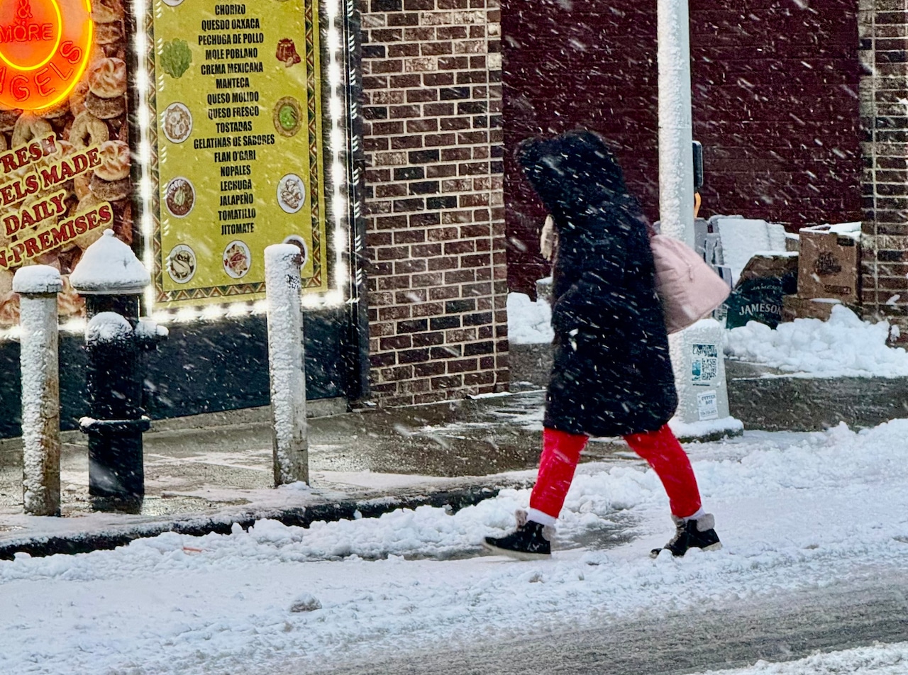 A woman walks through the snow on Giffords Lane in Great Kills on Saturday, Dec. 27, 2025.(Steve White for the Staten Island Advance)
A report out of Great Kills indicated that roads appeared to have been plowed in the area.
Although snow was falling around 7 a.m., any further precipitation Saturday morning will be minimal. According to Brian Ciemnecki, a meteorologist with the National Weather Service, snow will continue in New York City and end sometime between 9 a.m. and 10 a.m. AccuWeather foresees flurries ending by 8 a.m.
So what happened to the snow that was forecast for the city?
Ciemnecki told the Advance/SILive.com that warm air hovering above the surface melted snowfall coming down and turned that snow into sleet.
“And when we had our sleet fall it really brought those snowfall totals down, it wasn’t able to pile up nice and fluffy like snow usually does when you have the sleet, It’s more ice and compacts it down,” Ciemnecki said.
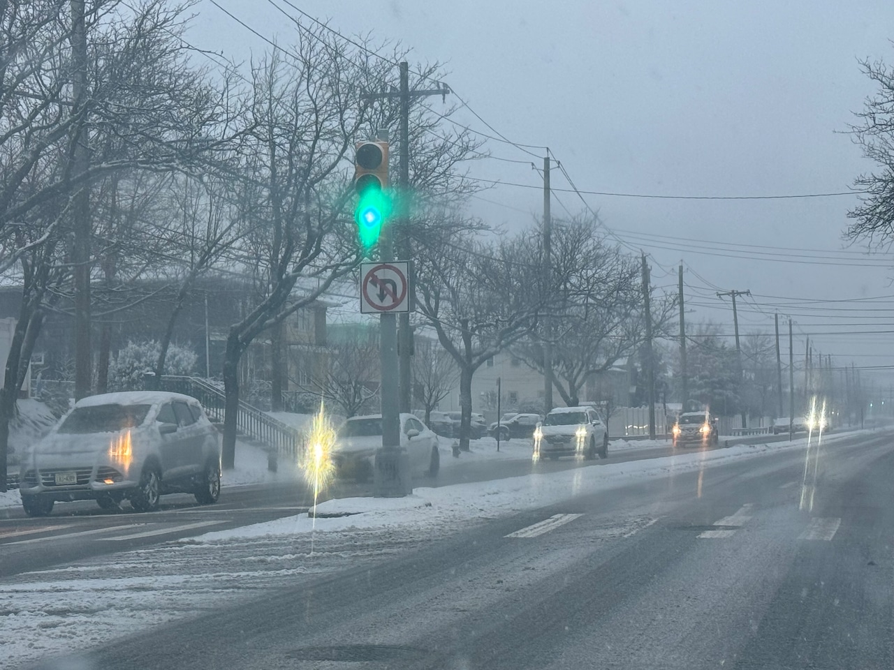 Snow falls at the intersection of Hylan Boulevard and Hillside Avenue in Bay Terrace on the morning of Saturday, Dec. 27, 2025.(Steve White for the Staten Island Advance)
Moreover, as previously reported, the possibility remained that the storm would take a minor shift in its track. The storm ultimately shifted slightly further north and east than initially anticipated.
“But it wasn’t a huge shift, it only was maybe 10 or 20 miles,” added Ciemnecki. “10 miles makes a huge difference whether for places that got a lot of snow or not a lot of snow.”
The nearby Lower Hudson Valley received snowfall totals ranging between 6 and 8 inches, according to Ciemnecki.
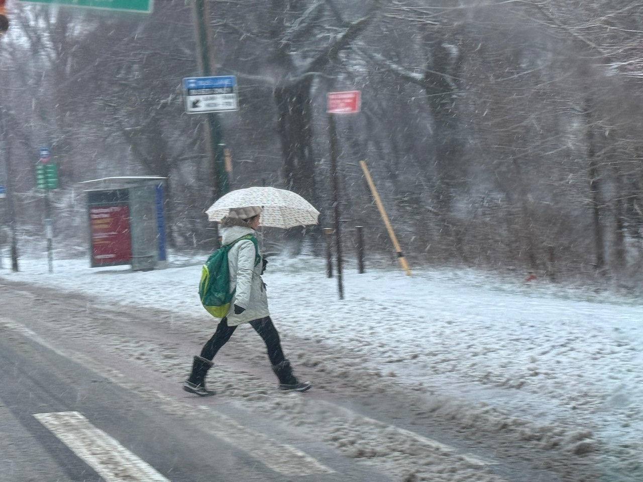 A woman walks through snow on Hylan Boulevard in Bay Terrace on the morning of Saturday, Dec. 27, 2025.(Steve White for the Staten Island Advance)
Once the storm departs the city, residents can expect a mostly cloudy Saturday. Temperatures will only reach the lower to middle 30s, and so major melting is not expected, Ciemnecki explained.
“Any melting that occurs is going to quickly freeze, because we’re looking at temperatures tonight (Saturday) falling into the lower 20s,” he added.
A gradual warmup will take place at the end of the weekend and continue into early next week. Temperatures on Sunday will reach the lower 40s and on Monday they will reach the lower 50s.
Additionally, Ciemnecki said rainfall on Monday is likely to contribute to melting much of the snow that lingers.