

HOBOKEN, NJ — After the snow stopped on Saturday, the National Weather Service gave a new statement about Sunday morning.
“Tonight, temperatures will be well below freezing and winds should remain on the lighter side, preventing some of the roads and other surfaces from drying out,” they said, in a special weather statement. “Any existing areas of snowmelt could lead to black ice formation on area roadways, bridges, overpasses, and any untreated surfaces.
“Motorists and pedestrians should use caution. Reduce speed, allow extra time, and be prepared for areas of slippery travel Saturday evening through midday Sunday.”
Meanwhile, a half inch of rain is in the forecast for early Monday, which could impact the morning commute. Use the links below for the latest updates.
Snow Totals
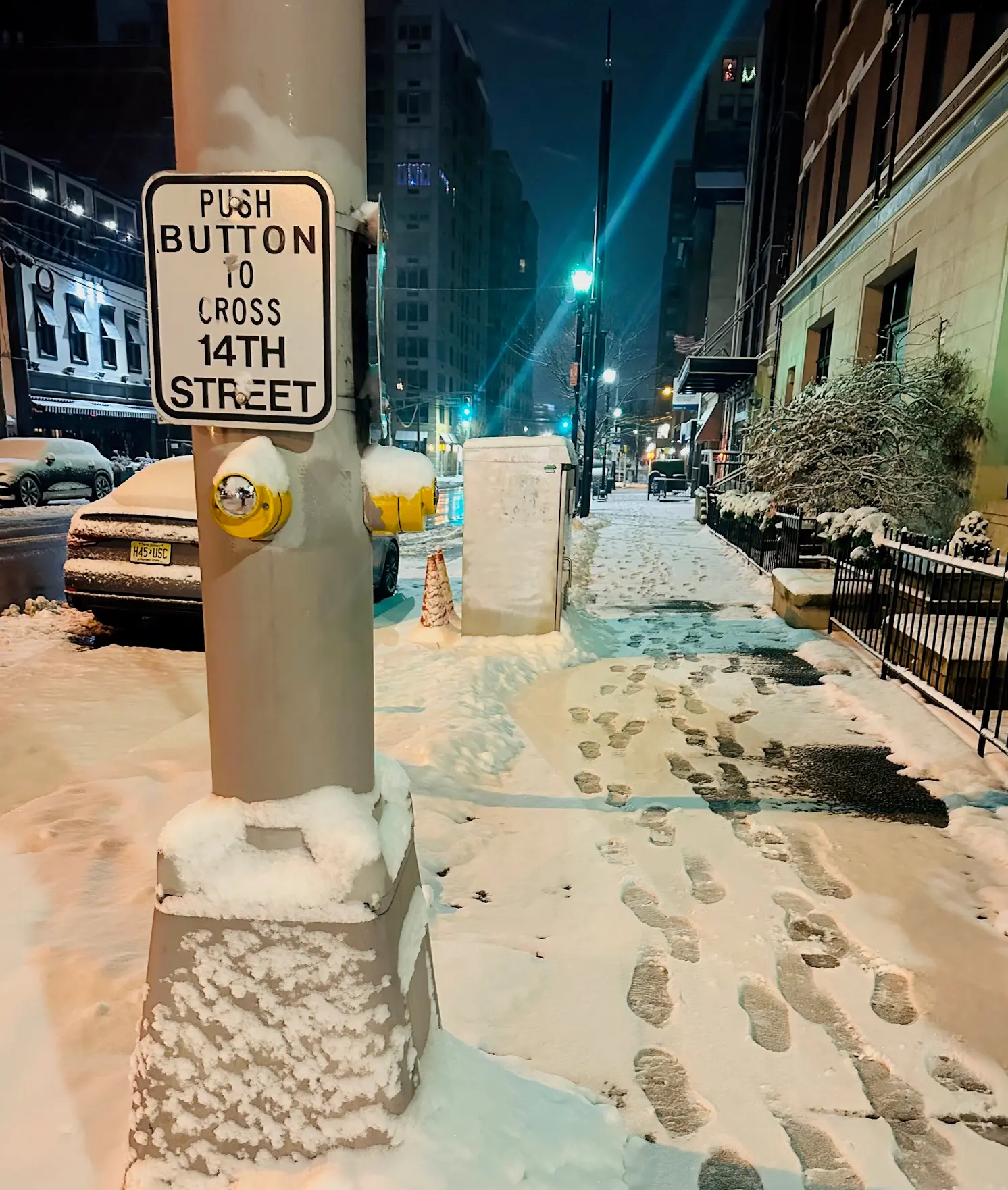 Hoboken, Saturday, 6:30 a.m.
NWS spotters released these snow totals for Hudson County, in inches:
Harrison, 4.0 inches, 4:42 a.m.Hoboken, 3.9 inches, 7 a.m.
To the west, in Bergen County, spotters reported 3-5 inches for most towns (see the final totals for those towns here). And significantly more snow fell in Connecticut, with towns reporting 7 to 9 inches.
Updated NWS forecasts, watches, and warnings in each county:
What about the rivers? This NWS map of the United States will show the potential for river flooding.