
Gov. Kathy Hochul on Monday extended a state of emergency across the entirety of New York state due to lake-effect snow and high winds. The state of emergency was originally declared last Friday for more than half of New York counties ahead of the storm.
The governor is warning of potentially hazardous travel conditions with near whiteout conditions that are forecast to continue in parts of Western and Central New York on Tuesday, especially in the Syracuse metro area.
The governor’s office says non-essential state employees who live or work in Erie, Chautauqua, Cattaraugus, Niagara, Wyoming, Oswego, Cayuga, Onondaga, Cortland, Madison, Wayne, Jefferson, Lewis and Oneida counties are being directed to telecommute on Tuesday where possible.
“As winter storms continue to impact several regions across Upstate New York, my message to New Yorkers remains the same: monitor local forecasts, avoid travel, and stay prepared,” Hochul said in a statement. “Plow crews, emergency management teams and utility personnel continue to work to keep New Yorkers safe, and we stand ready to deploy additional resources anywhere they are needed throughout the storm.”
Winds as high as 70 mph were reported in Western New York. Strong gusts are expected to continue across the state Tuesday morning and will decrease through the day Wednesday.
The state says as storms progress throughout Monday, snowfall rates are expected to increase. Off of Lake Erie, officials say the heaviest snows will focus east to southeast of the lake, with the highest snow totals forecast for the Chautauqua Ridge area.
Through Wednesday night, areas throughout the Chautauqua Ridge and southern Erie County could see between two and three feet of snow, according to officials. The governor’s office says Buffalo and points north could see more than a foot of snow, and snowfall rates will likely exceed 1.5 inches an hour and may reach three inches in certain locations at times.
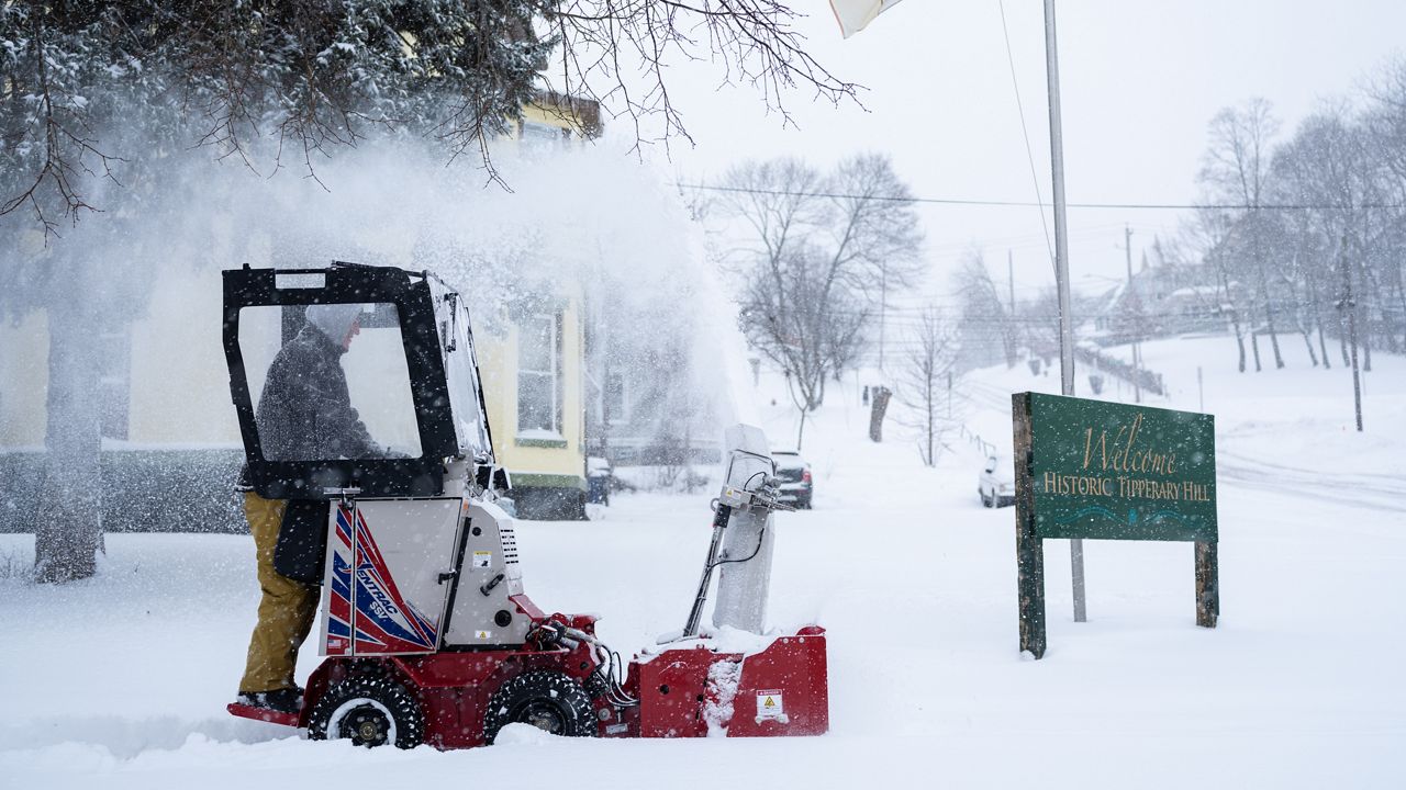
Officials say lake-effect snow off of Lake Ontario will begin to shift south from Watertown across the Tug Hill on Monday and begin to impact the Syracuse metro area during the overnight hours.
The state is warning that areas within the Tug Hill Plateau and the Syracuse metro area could see between two and three feet of lake-effect snow through Wednesday night. Snowfall rates will likely exceed 1.5 inches an hour and may reach three inches an hour locally at times, officials said.
Officials say more than 7,500 utility workers are engaged in damage assessment, response, repair and restoration efforts across the state.
Multiple road closures are currently in place in the following areas:
State Route 80 is closed in both directions between Pickle Hill Road and Spring Street in the town of Minden, Montgomery County due to trees on wires.
State Route 266 is closed in both directions between Grand Island Boulevard to Sawyer Avenue in the town of Tonawanda, Erie County due to flooding.
The Buffalo Skyway (State Route 5) is closed in both directions between I-190 to NY-179 in the cities of Buffalo and Lackawanna, Erie County due to high winds.
The state says an empty tractor trailer and tandem ban is in effect for the following roadways:
Thruway
I-90 (Thruway) Exit 46 (Rochester – Corning – I-390) to Pennsylvania State Line
I-190 (Niagara Thruway): From I-90 to Grand Island Bridge
DOT Highways
I-190 (Niagara Expressway) from Grand Island Bridge to Lewiston-Queenstown Bridge
I-290: From I-190 to I-90
I-990: From I-290 to NY Route. 263 Millersport Highway
NY Route 400: From I-90 to NY Route 16
US Route 219: From I-90 to NY Route 39
I-86: From PA Line to I-390