
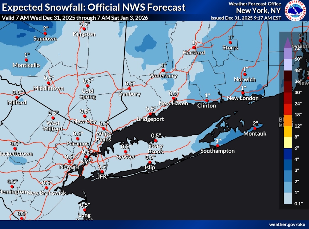
Staten Island residents can expect light snow beginning late Wednesday evening into early New Year’s Day, with cold temperatures continuing through the weekend. The National Weather Service indicates accumulations will likely amount to less than an inch in the New York City area.
According to the weather service, the snow will develop ahead of a cold front approaching the region Wednesday night, with precipitation beginning late in the evening. The snow is expected to taper off during the early daylight hours on Thursday. Temperatures Wednesday will reach only 30 to 35 degrees with wind gusts of 20 to 25 mph, well below normal for this time of year.
New Year’s Day will bring brisk and colder conditions as the cold front passes through early in the day. Winds will shift to the northwest and increase, with gusts reaching 30 to 35 mph by Thursday afternoon. High temperatures will only reach the lower 30s, with overnight lows Thursday night dropping into the lower 20s. Wind chills will bottom out in the single digits.
The cold pattern will persist through the weekend, with Friday’s temperatures similar to New Year’s Day. Saturday will remain dry and cold, with a high pressure system building into the region Sunday and Monday.
Some moderation in temperatures is expected by Tuesday after a warm front passes through the area Monday night. This system may bring light precipitation, but little accumulation is expected with less than one-tenth of an inch of liquid equivalent.
The extended forecast shows temperatures finally moderating closer to normal by Tuesday after nearly a week of below-normal temperatures.
A draft of this story was generated using AI. It was reviewed, edited and approved by Advance/SILive.com staff.