
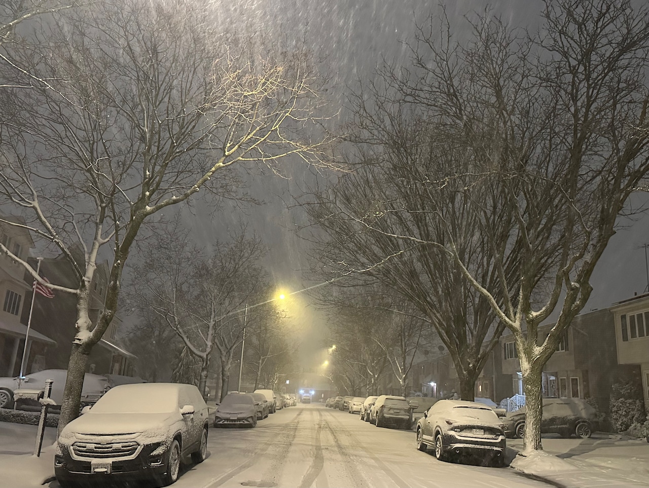
STATEN ISLAND, N.Y. — Although temperatures in New York City on Thursday may be comparatively mild, wintry conditions will return and could set the stage for snowfall in the days ahead.
According to AccuWeather meteorologist Peyton Simmers, a storm may impact the East Coast late next week and precipitation could fall in the form of snow.
“Right now, the pattern’s been quite volatile; it’s been flipping a lot,” he told the Advance/SILive.com Thursday morning.
“Right now we’re in the midst of a warmup, right now, for New York City compared to what it’s been,” added Simmers. “And then as we start to look into next week, there is signs that the cold air is going to return back to the Northeast and there is potential late next week that there could be a storm around that could give some snow to the East Coast, but a lot has to come together for that to unfold.”
In order for this storm to form, two pieces of energy must come across the U.S. and “phase” together. If those two systems “miss each other” and fail to phase, then the chance of snow is unlikely, according to Simmers.
Additional atmospheric factors also play a role in determining whether or not a snow storm will form, the meteorologist explained.
Although the chance of a snow storm may be low, “the chance is there,” Simmers said.
One thing that does seem like it will work in the storm’s favor is the return of cold temperatures.
Typically, the average high temperature for this time of year is around 40 degrees in New York City. Wednesday featured a high of nearly 50 degrees, Simmers explained.
“So we’re at least 9-10 degrees above historical average for this time of the year,” he noted.
Next week, Simmers foresees temperatures nearing their average for January, but they could even dip below average.
Although temperatures will drop, they may comparably not be as cold as they were in December, said Simmers.
Even if the storm does manage to come together next week, Simmers is unable to estimate just how much snow will fall.
“We really don’t know at this point [snowfall estimates], because even if it phases, it still has to take the precise track to hit the east coast cities,” added Simmers. “Because it can stay farther off shore and then, you know, everybody gets next to nothing, or it can go a little bit more inland and rain can be an issue.”