
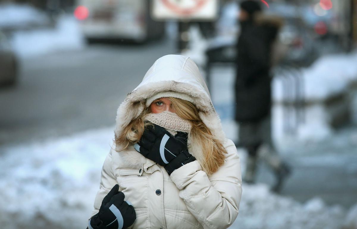
A major winter storm is expected to sweep across New York over the next 72 hours, which will bring dangerously cold wind chills and plenty of snow.
Negative Wind Chills Expected Across New York State
The next round of arctic weather is headed our way in New York State. It will start with heavy lake effect snow tonight across Lake Erie and Lake Ontario before possible record-setting cold could move in on Tuesday.
Wind chills could drop to as low as -15 to -120 for parts of New York overnight Monday into Tuesday morning.
Winter Storm Warning Issued For Parts Of New York State
The next winter storm could be the biggest storm we will see this winter. Forecasts are calling for snow totals to be measured in feet, not inches. Some places in Northern New York to get over two feet of snow between now and Wednesday.
READ MORE: HISTORICAL WINTERSTORM WILL IMPACT PARTS OF NEW YORK STATE TO START THE WEEK.
Winds gusts will also reach up to 50 miles per hour, causing white-out conditions for travelers around the state.
Now is the time to plan ahead for the snow. Make sure you have what you need if you have to be at home for the next couple of days. Also, make sure your vehicle is winter-ready as well if you have to travel over the next couple of days.
5 Snowiest Days In New York State History
Here are the Top 5 snowiest days in New York State history.
Gallery Credit: Dave fields