
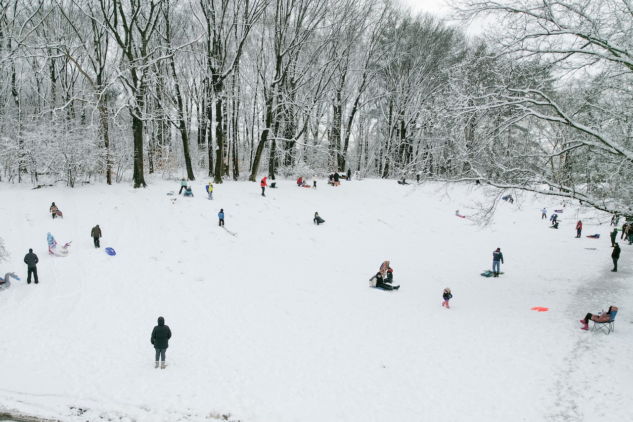
STATEN ISLAND, N.Y. — Snow is expected to impact New York City this weekend, but just how much remains up in the air.
According to Tom Kines, a senior meteorologist with AccuWeather, the city is forecast to receive a general accumulation between 6 and 12 inches.
However, ultimate snowfall tallies will be determined by just how far north this storm system shifts in the days ahead, he added.
As of Wednesday morning, an area of high pressure persists over the Northeast and it’s that force which could keep the storm at bay. Yet if the projected storm strengthens and manages to overwhelm the high pressure area, then the snowfall estimates for the city could increase.
“It’s going to be a battle to see who wins out. If the high pressure wins out, there will be less in the way of snow,” Kines noted.
“If the southern storm gets stronger and pushes the high pressure area out of the way, that’s how the storm gets farther north and we get a very significant snowfall,” he added.
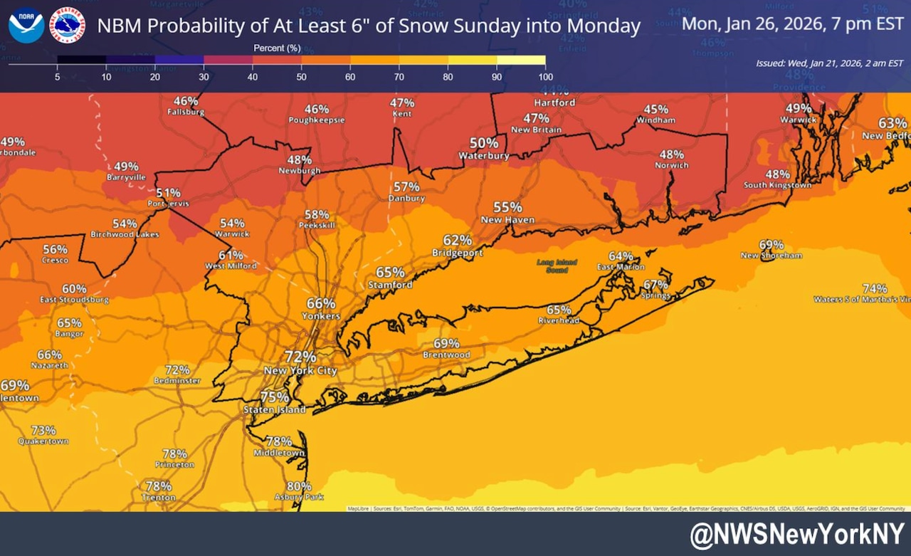 This National Weather Service graphic shows there is a 75% probability that Staten Island will receive at least six inches of snow from Sunday, Jan. 25, through Monday, Jan. 26, 2026.(National Weather Service)
Should the storm maintain its course, Kines believes the forecast precipitation will be “dry, fluffy snow” that is easier to shovel. If, however, the storm effectively pushes further north, it will bring warmer air and the potential for sleet or freezing rain. This wetter snow could prove to be a real hassle for residents attempting to clear their sidewalks and dig out vehicles.
“Whether it’s 6 inches or 10 inches, it’s going to be impactful. People are going to be shoveling, snow crews will be plowing and it’s going to be a mess,” Kines said.
As the forecast stands Wednesday morning, much of the heavier snow will come down in the southern part of the city, including Staten Island.
While the Island is expected to see some more snow, that does not mean areas upstate New York will be spared. According to Kines, the snowfall is forecast to extend from Albany on south.
The storm is forecast to arrive sometime between late Saturday night and Sunday morning and will persist throughout the day Sunday before tapering off Monday morning, according to Kines.
Temperatures on Sunday are not expected to exceed 20 degrees and Monday’s highs will likely reach the mid-20s, said Kines. He noted that cold temperatures will persist in the wake of the storm.
“I know (Thursday) will be up in the 40s, that might be the last time we see 40s for many days,” he explained.