
NBC5 First Warning meteorologists are tracking a blast of dangerous Arctic air that will move into the region late this week and last through the weekend. Near-record levels of cold are possible, especially on Saturday.Extreme cold arrives late on Friday, with temperatures falling sharply throughout the day and especially Friday night.By late Friday night into early Saturday, overnight lows will range from 20 below zero to zero, while wind chills could plunge to 10 to 35 degrees below zero. Higher elevations may feel even colder.Saturday will be brutally cold, with high temperatures staying below zero all day. Wind chills will generally range from 30 below zero to 10 below zero, making it dangerous to be outside for extended periods of time.By Saturday night, winds will ease, and skies will clear, allowing temperatures to drop once again. Overnight lows are expected to fall between 20 below zero and 5 below zero, with wind chills ranging from 30 below zero to near zero.Sunday morning will still be extremely cold, with temperatures ranging from around 30 below zero in the mountains to near 15 below zero in the wider valleys. Wind chills will be between 30 below and 15 below. By Sunday afternoon, temperatures will begin to recover slightly, rising above zero in the valleys, while mountain temperatures remain near 10 below zero.Temperatures are expected to remain colder than normal into early next week.Want more local news? Download our NBC5 mobile app for iOS and Android.STAY WEATHER-AWAREFor the latest weather coverage for your area, click here. Stay updated with alerts in the myNBC5 app, which you can download here.For the best weather information and Vermont and northern New York’s Certified Most Accurate forecast, watch NBC5 News by streaming at this link.Don’t forget to follow NBC5 News on Facebook, X (formerly Twitter), and Instagram.Follow the NBC5 First Warning Weather team on social media:Chief Meteorologist Tyler Jankoski Facebook | X | InstagramMeteorologist Ben Frechette Facebook | X | InstagramMeteorologist Matt DiLoreto Facebook | XMeteorologist Andrew Grautski Facebook | XMeteorologist Marissa Vigevani Facebook | XThe NBC5 First Warning Weather team, led by Chief Meteorologist Tyler Jankoski, is the certified most accurate local weather team for three years in a row according to WeatheRate.
SOUTH BURLINGTON, Vt. —
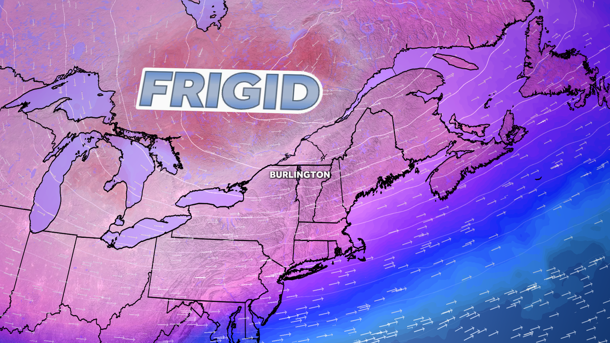
NBC5 First Warning meteorologists are tracking a blast of dangerous Arctic air that will move into the region late this week and last through the weekend. Near-record levels of cold are possible, especially on Saturday.
Extreme cold arrives late on Friday, with temperatures falling sharply throughout the day and especially Friday night.
By late Friday night into early Saturday, overnight lows will range from 20 below zero to zero, while wind chills could plunge to 10 to 35 degrees below zero. Higher elevations may feel even colder.
Saturday will be brutally cold, with high temperatures staying below zero all day. Wind chills will generally range from 30 below zero to 10 below zero, making it dangerous to be outside for extended periods of time.
By Saturday night, winds will ease, and skies will clear, allowing temperatures to drop once again. Overnight lows are expected to fall between 20 below zero and 5 below zero, with wind chills ranging from 30 below zero to near zero.
Sunday morning will still be extremely cold, with temperatures ranging from around 30 below zero in the mountains to near 15 below zero in the wider valleys. Wind chills will be between 30 below and 15 below. By Sunday afternoon, temperatures will begin to recover slightly, rising above zero in the valleys, while mountain temperatures remain near 10 below zero.
This content is imported from Facebook.
You may be able to find the same content in another format, or you may be able to find more information, at their web site.
Temperatures are expected to remain colder than normal into early next week.
Want more local news? Download our NBC5 mobile app for iOS and Android.
STAY WEATHER-AWARE
For the latest weather coverage for your area, click here. Stay updated with alerts in the myNBC5 app, which you can download here.
For the best weather information and Vermont and northern New York’s Certified Most Accurate forecast, watch NBC5 News by streaming at this link.
Don’t forget to follow NBC5 News on Facebook, X (formerly Twitter), and Instagram.
Follow the NBC5 First Warning Weather team on social media:
The NBC5 First Warning Weather team, led by Chief Meteorologist Tyler Jankoski, is the certified most accurate local weather team for three years in a row according to WeatheRate.