
STATEN ISLAND, N.Y. — Meteorologists are monitoring the development of a nor’easter capable of bringing heavy winds and snow to New York City this weekend.
As of Tuesday, the final path of the storm remains up in the air.
AccuWeather Senior Meteorologist Matt Benz told the Advance/SILive.com that the ultimate track of the system will be determined, in part, by a fast-moving clipper storm emerging out of the western Great Lakes.
Benz called the system a “kicker low” and explained that if this storm strengthens enough and meets the “powerful low” from the southern coast, it could “give the storm a boot at the coast” and push it towards Bermuda.
However, if the clipper misses the window to “kick” the developing low from the south, that will allow the nor’easter to track further north toward Cape Cod, Massachusetts.
Should the storm track towards Bermuda, the city will still see some wind, but may escape the snow. If the system takes a path towards Cape Cod, both snow and wind “would be on the table” for the five boroughs.
Benz told the Advance/SILive.com that as of Tuesday, there is a “moderate risk” the city will see a winter storm. If the nor’easter does hit the city, impacts would begin late Saturday night and continue through Sunday; the worst conditions would be experienced on Sunday.
“So it’s more or less kind of a 50-50 chance right now of it occurring,” he added.
Although Tuesday was too early for Benz to provide any snowfall estimates, he did say this storm could bring heavy winds to the city, particularly for those on the coast. Should the storm get close enough, wind gusts could potentially reach up to 60 mph.
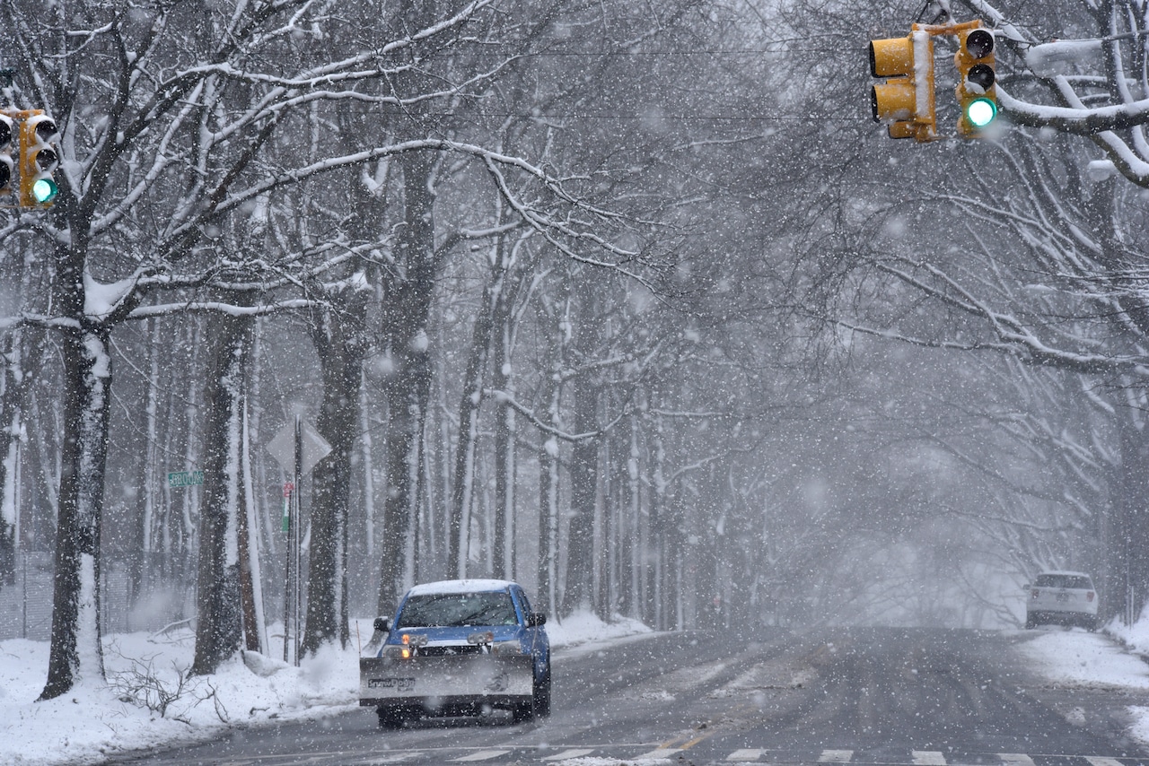
This combination of wind and snow would create visibility concerns in the city, Benz noted.
“I mean we obviously saw visibility concerns just with the heavy snow this past weekend, but we really didn’t see a lot of wind with it,” said Benz. “Whereas this one could be more wind which could blow that snow more around.”
If snow does fall this weekend, it would pile on top of the existing snow from Sunday’s storm. As temperatures will remain below freezing throughout the week, any melting would be minimal.
In addition to high winds, those along the coast may want to prepare for potential coastal flooding, as the storm will coincide with the full moon and astronomical high tide this weekend.