
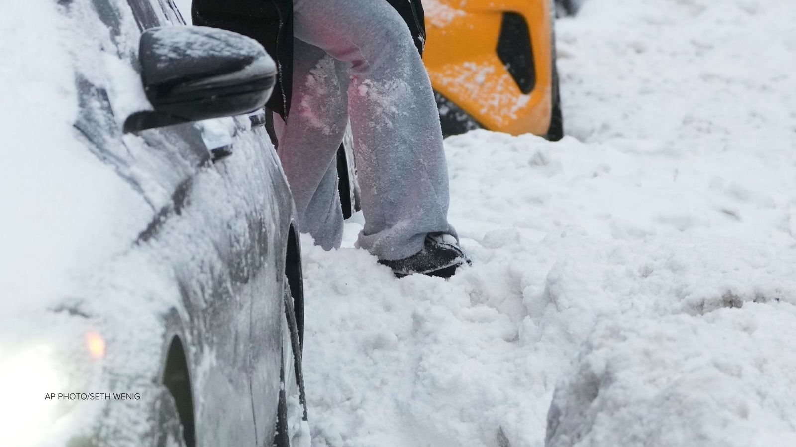
NEW YORK (WABC) — New York City remains locked in a bitter blast of Arctic air, with temperatures starting the day in the teens and wind chills dipping into the single digits – and in some northern suburbs, even below zero. The frigid stretch is expected to last well into next week, keeping snow and ice intact across the city and the region.
The frigid air mass, typically bottled up closer to the Arctic Circle, has been pushed south as warmer air aloft disrupts the pattern and forces the cold to bulge downward over the Northeast. As a result, the entire region is feeling the full brunt of Arctic air, and the deep freeze isn’t going anywhere soon.
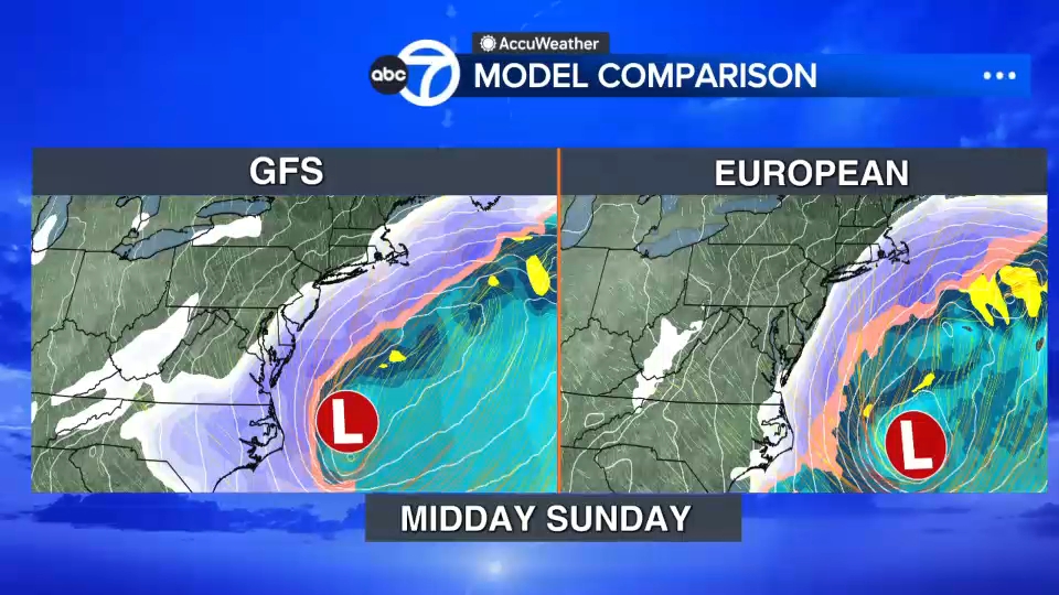
The next significant weather threat comes this weekend, when a developing coastal storm could bring high winds, beach erosion, coastal flooding, and potentially snow, especially for areas closest to the shoreline.
The Eyewitness News AccuWeather team is closely watching the path of the system, with both the GFS and European models inching closer to agreement. A slight shift in the storm’s track will determine how much snow reaches Long Island, Connecticut, the Jersey Shore, and possibly New York City. While it is too early to pinpoint exact snowfall totals, this is not a typical storm that affects only inland areas. This one is coastal-focused and could produce strong impacts even before the first snowflake falls.
Locally, the extended forecast offers little relief. New York City may not reach the freezing mark until Tuesday, keeping the region in a days-long deep freeze and allowing ice to accumulate on roads, sidewalks, and waterways. Until then, take precautions, dress warmly, and stay alert for updates as the weekend storm approaches.
Stay with Eyewitness News and the AccuWeather team for live updates on the arctic air and potential next storm.
Click here for the latest advisories, watches and warnings from the National Weather Service