
STATEN ISLAND, N.Y. — New York City residents are contending with biting cold in the wake of a winter storm that brought over a foot of snow to the five boroughs.
Some may hope this snow will naturally melt, but according to meteorologists, freezing conditions are here to stay for quite some time.
“In general, temperatures are not getting above freezing — at least for an extended time — in the foreseeable future,“ AccuWeather Senior Meteorologist Tom Kines said.
Freezing temperatures have persisted for days on end in the city. However, Thursday and Friday could bring some of the coldest conditions seen so far this year.
Both Thursday and Friday are expected to bring single-digit lows to the city, Kines told the Advance/SILive.com.
“You get out into the suburbs and you get far enough away from the city and there will be some areas that get down close to zero, if not below,” he added.
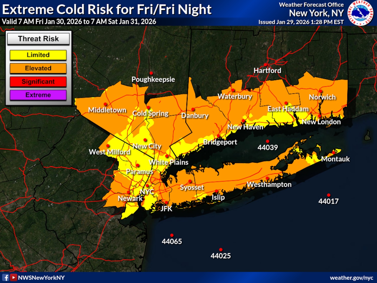
In anticipation of these conditions, the National Weather Service has issued a Cold Weather Advisory for the five boroughs set to go into effect at midnight and last through 10 a.m. Friday.
That advisory noted that wind chills as low as 7 below are expected. Such wind chills could result in hypothermia if residents are not careful, according to the weather service.
Friday’s high will climb to just 17 degrees Fahrenheit before dropping to a low around 8 degrees Fahrenheit, according to the weather service. On Saturday, the daily high will reach around 20 degrees before dipping to about 12 degrees.
“Once we get past Saturday night, the next few nights — if not several nights — it doesn’t look like it’s going to get down into the single digits,” Kines said.
Forecast highs from Sunday through Wednesday range from the 20s to lower 30s; daily lows will be in the teens, according to the weather service.
With more snow forecast to come down with Sunday’s nor’easter, any accumulation that does stack on top of the existing snow will linger in the city.