
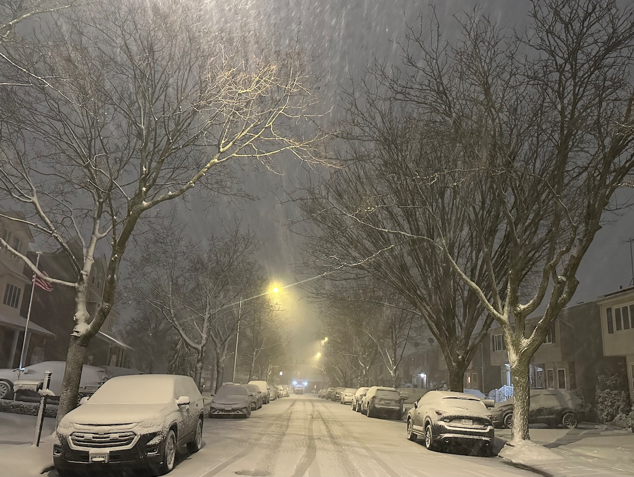
STATEN ISLAND, N.Y. — Some more winter weather may be headed our way, with meteorologists tracking a wintry mix for Tuesday evening.
“As we head into tomorrow evening and tomorrow night, there’s a warm front that will push through the area and that can bring on a little bit of snow or a bit of rain,” Matt Benz, a senior meteorologist for AccuWeather, told the Advance/SILive.com on Monday.
Most of the day is expected to be dry, with winds remaining calm throughout the morning. This, however, will shift after 1 p.m., with some stronger winds returning.
“The wind starts to pick up again tomorrow afternoon into tomorrow evening, that could be pretty blustery for the midweek,” shared Benz. “The big difference here is that it’s not going to be as cold, so it may not be quite as harsh as what we saw over the weekend.”
Since Jan. 23, temperatures have remained generally below average for the region and that trend will continue throughout the week.
Precipitation is expected to begin later in the evening around 8 p.m., so possible impacts to rush hour travel are low, however some roads may be slick if temperatures stay at or below freezing.
According to Benz, there is no accumulation predicted for Tuesday in the New York City area, but northwestern New Jersey, the Hudson Valley and the Southern Tier have higher chances of snow.
“You’ll see bigger impacts as you head up into the northwest,” Benz said. “As you head up north of Poughkeepsie, up toward Albany, there could be as much as 1 to 3 inches of snow in that direction.”
This is expected to be a quick weather event, as the frontal system moves through the region. Any precipitation is expected to end before morning in the city.