
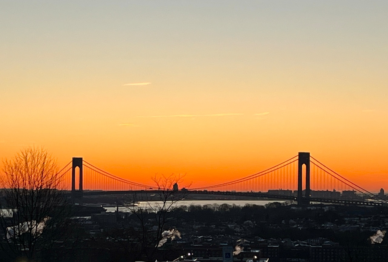
Staten Island can expect mostly calm weather Monday with temperatures in the 40s, but should prepare for precipitation beginning late Monday night and returning midweek.
A light wintry mix, mainly snow and rain with a low chance of freezing rain, may affect the region late Monday night into early Tuesday morning, according to the National Weather Service.
Winds will be from the north/northeast at 10 to 14 mph at coastal areas Monday morning, before easing during the afternoon.
The National Weather Service forecasts daytime high temperatures in the lower to mid-40s for the borough this week, with nighttime lows mostly in the 30s.
Tuesday will see improving conditions after any early morning mixed precipitation ends, with visibility improving throughout the day.
Wednesday will bring the most significant weather system of the week, with rain likely Wednesday afternoon into Wednesday night.
The rainy weather is expected as a warm front approaches Tuesday night into Wednesday, followed by a trailing cold front Wednesday night into Thursday. Rainfall amounts are forecast to range from 1/10 to 1/3 of an inch.
Thursday may bring a brief respite with only a slight chance of rain as high pressure briefly moves in from the east. However, rain chances increase again Friday as another frontal system approaches the region, with precipitation likely throughout the day.
The overall weather pattern shows a series of progressive low pressure systems bringing rain, snow, and mixed precipitation chances from midweek through late week, though the National Weather Service notes that predictability regarding precipitation type remains low at this point.
A draft of this story was generated using AI. It was reviewed, edited and approved by Advance/SILive.com staff.