Thought winter was done? Not quite.
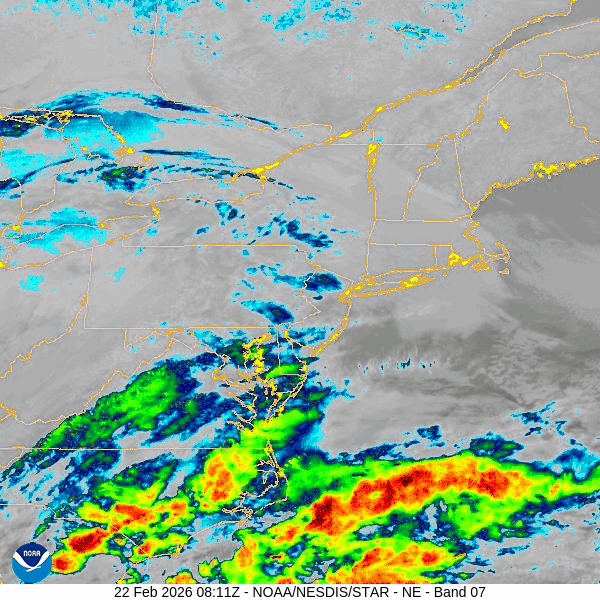
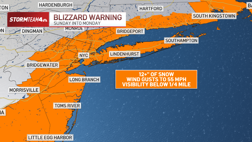
The New York City area can expect another powerful snowstorm Sunday into Monday. Many in the tri-state can expect to see more than 12 inches of snow, depending on distance to the coast. Parts of Long Island and the Jersey Shore could see two feet. What does the timing look like for this storm?
A mix of rain and snow starts Sunday morning. Temperatures drop late Sunday afternoon and snow starts to stick Sunday evening. Snowfall rates up to 3 inches an hour and increasing winds will greatly reduce visibility and likely reach blizzard criteria (especially in Suffolk County) into Monday morning.
Watch NBC 4 free wherever you are
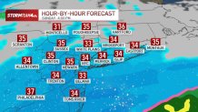
Want to know what the storm will look like near you, and when? Here’s a radar breakdown:
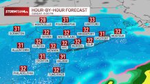
Sunday 12 p.m.
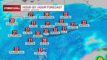
Sunday 2 p.m.
More coverage
7 hours ago
Live updates: NYC orders travel ban; blizzard warning extended in Hudson Valley, CT
8 hours ago
What makes a blizzard warning? When did NYC last have one? It’s not all about snow
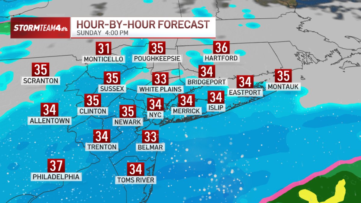
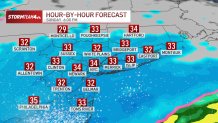
Sunday 4 p.m.
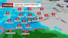
Sunday 6 p.m.
Sunday 8 p.m.
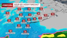
Sunday 10 p.m.
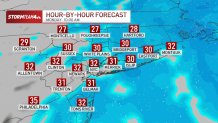
Monday 12 a.m.
Monday 2 a.m.
Monday 4 a.m.
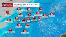
Monday 6 a.m.
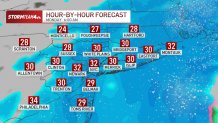
Monday 8 a.m.
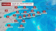
Monday 10 a.m.