
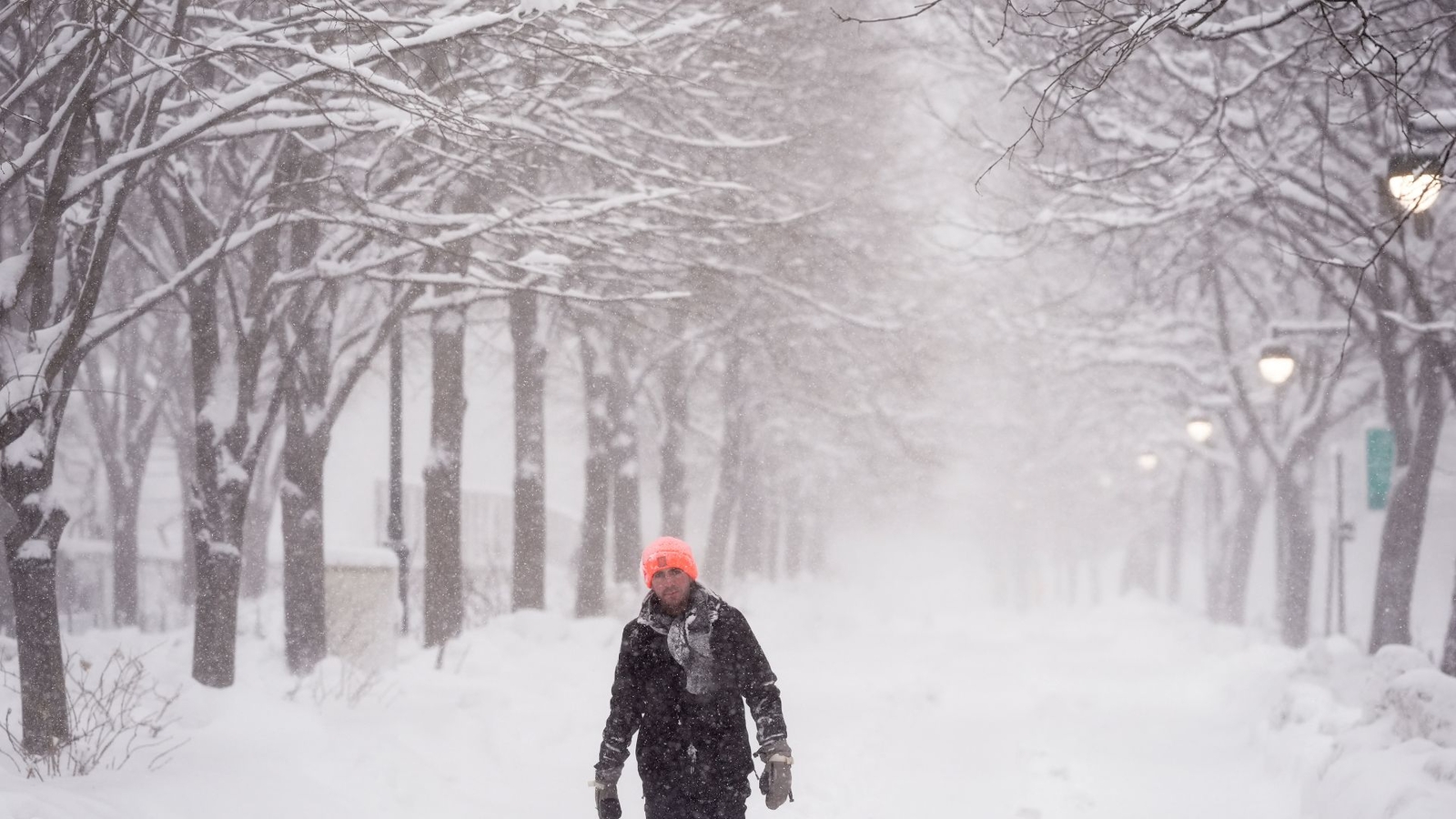
NEW YORK (WABC) — The Blizzard of 2026 is now in the history books, officially becoming one of the region’s top 10 all-time snowstorms, bringing hurricane-force wind gusts, widespread whiteout conditions, and more than two feet of snow to parts of the Tri-State area.
The historic storm has pulled out to sea and the big dig continues, with roads reopened and commuter railroad networks slowly returning to normal. The risk of black ice from melting snow refreezing remains a concern overnight. And regional disruptions will continue on Tuesday, with some schools closed or delayed. You can find the list here.
Believe it or not, we have two more shots of snow this week, with a clipper system bringing a coating to an inch, and maybe up to 2 north and west of the city, Wednesday morning. The second shot is a wintry mix late Thursday that could bring up to an inch or 2 of snow.
Neither of these systems this week will pack anywhere near the wallop of the departed blizzard, whose peak wind gusts reached 84 mph at Montauk Point and 74 mph in Stony Brook, readings comparable to a Category 1 hurricane. Even after snowfall began tapering in the afternoon, the combination of deep snowpack and gusts over 40 mph continued to produce blizzard conditions across much of the region.
Central Park experienced the ninth largest snowstorm on record there, coming in at 19.7 inches. Newark had its second largest, with 27.1, and Islip had its all-time biggest with 29.1 inches.
Suffolk County emerged as one of the day’s “big winners,” with multiple locations eclipsing 30 inches, with Central Islip the tops at 31 inches.
Other notable numbers include:
Lyndhurst: 30.7 inches
Carlstadt: 30.2 inches
Babylon: 29.5 inches
Staten Island, NY: 2 feet
Washington Heights: 22.1 inches
Jackson Heights: 20.2 inches
Williamsburg: 18.5 inches
Newark, NJ: 25.8 inches
Davis Park, Fire Island: Over 2 feet
Mattituck, Long Island: Nearly 2 feet
Bellmore and Bethpage: 21 inches
Ossining: 23.2 inches
Hartsdale: 24 inches
Clearing skies overnight will bring bitter cold, with morning lows in the teens and 20s. Temperatures remain below freezing Tuesday, meaning little to no melting.
LATEST ACCUWEATHER FORECAST
Please fill out the form below to submit weather photos and videos.