
Lower Manhattan is a Perilous Place to Perambulate – But It Could Be Worse
Two sources of data document that the streets of Community Board 1 (an area between the Hudson and East Rivers, bounded by Canal, Pearl, and Baxter Streets, and the Brooklyn Bridge) are a hazardous place to walk, cycle, or drive.
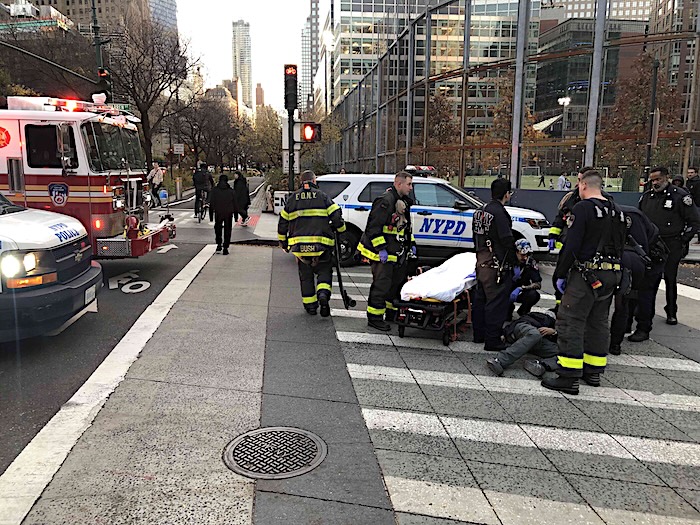
The NYC Crash Mapper online database (operated by the non-profit pedestrian advocacy group, CHEKPEDS, using municipal Open Data) documents that in the 12-month period ending in February of this year, there were 266 total crashes in Lower Manhattan. These entailed no fatalities, but did cause 300 injuries, divided among 130 motorists, 86 pedestrians, and 70 cyclists (along with nine victims who were uncategorized).
Accord to Crash Mapper data, the five most dangerous local intersections appear to be West Street near the Brooklyn-Battery Tunnel (with four crashes and seven injuries), West and Chambers Streets (also four crashes and seven injuries), Reade Street and West Broadway (four crashes, six injuries), Reade and Church Streets (four crashes, four injuries), and Church and Chambers Streets (also four crashes, four injuries).
The five most commonly cited contributing factors in these crashes (after “unspecified” in 185 cases) were driver inattention/distraction (101 cases), failure to yield right-of-way (27), pedestrian or bicyclist error/confusion (18), improper passing or lane usage (18), and traffic control disregarded (13).
That noted, Crash Mapper says CB1 ranks lowest for any Community Board in Manhattan, both for the overall number of crashes and the tally of injuries during this period.
A second compendium, from the City’s Vision Zero online database, provides monthly updates. In January (the most period recent available), CB1 was the scene of 21 total injuries, divided among ten motorists, six pedestrians, four cyclists, and one uncategorized victim. (Vision Zero specifies the number of injuries, but not the total number of crashes.)
In a related development, City Council member Christopher Marte continues to push the City’s Department of Transportation to complete a long overdue pedestrian study of the Financial District, for which $500,000 in funding was earmarked a decade ago but never spent. This analysis is intended to study mobility and pedestrian safety solutions, such as shared streets, for an increasingly congested Lower Manhattan. This would be a reprise to similar studies conducted by the agency in 1997 and 2010 that were completed but never implemented.
In the intervening years, multiple local organizations have commissioned and completed their own studies, including one by the Downtown Alliance and another by the Financial District Neighborhood Association (FDNA).
The FDNA proposal, titled “Make Way for Lower Manhattan,” seeks to reclaim large swaths of Lower Manhattan’s streetscape for pedestrians under a program that would widen sidewalks, take down construction scaffolding, put trash in its place, decrease traffic, ban parking (especially by official vehicles), and create new public plazas. With the ultimate aim of creating new pedestrian and cycling arteries throughout the Financial District, the Association wants, as a first step, to focus on creating a “slow-street district” between Broadway and Water Street, from City Hall to the Battery, within which vehicular traffic would be subject to a ten mile-per-hour speed limit.
The Alliance’s plan, “A More Welcoming Wall & Broad: A Vision for Improving the Stock Exchange District,” envisions transforming the area through a series of innovations, such as creating curb-less “shared” streets, surfaced with historical contextual paving materials. The plan also would create a distinct sense of place by erecting “gateway” structures at entrances to the zone. These interactive sculptural installations would display text offering way-finding directions and historical background. Elsewhere, the Alliance proposes installing stone street furniture, which would act as bollards and security barriers, but also double as benches and planters. The Alliance plan also contains logistical improvements, such as a consolidated delivery center for all packages, which would consist of a centralized drop-off point for delivery trucks from which parcels could be distributed using hand trucks or cargo bikes.