
STATEN ISLAND, N.Y. — A storm packing weather conditions similar to a nor’easter will bring heavy rain and gusty winds to New York City this week, but just when can residents expect an impact?
According to Dave Dombek, a senior meteorologist with AccuWeather, residents can expect to see some sprinkles of rain as early as Wednesday afternoon.
This insignificant precipitation will give way to some pockets of drizzling rain Wednesday night.
”Midday into the afternoon on Thursday is probably going to be our wettest time, I think that’s when we’re going to be the wettest and then that’s when the rain will probably tend to be the heaviest,” Dombek told the Advance/SILive.com.
Winds will gradually increase over the course of the next couple of days, with the worst conditions expected around the same time rains are forecast to batter city streets on Thursday.
While this system will bear a resemblance to a nor’easter, the upcoming storm is “not a classic nor’easter” as the storm is not tracking up the coast. Rather, as of Tuesday morning, the center of the storm is expected to track more inland through the Appalachian mountains and into upstate New York.
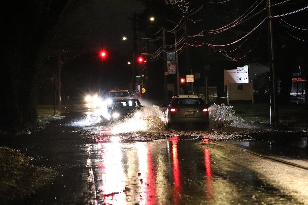
“This storm will produce impacts that are very similar to what would happen during a nor’easter,” explained Dombek. “In other words, it’s going to have some pretty heavy rains with it, maybe enough rain in a short period of time to result in some poor-drainage area flooding, ponding of water on roadways; that kind of stuff.”
Ultimately, he anticipates a general 1-2 inches of rain will fall on the city when all is said and done. However, he did note that some places could see up to 3-4 inches.
In addition to “soaking” rain, the storm is set to produce gusty winds. On Tuesday, a noticeable northeast breeze is blowing through Staten Island, the windflow will shift more easterly on Wednesday before becoming more southeasterly on Thursday.
Regardless of exact direction, the wind flow will come in from the Atlantic Ocean and will be quite noticeable for those along the coast, according to Dombek.
“We are expecting some wind gusts, probably easily 35-40 mph,” said Dombek. “And if you’re right at the beach, right at the shore, you could get gusts like into the 40s, maybe mid-40s or so.
He added that those along the coast or an inland bay will want to take note of the potential for coastal flooding as tides are expected to run above normal during this storm.
Fortunately for those residents along the coast, Dombek does not foresee severe flooding, but it will be noticeable. Given that the phase of the moon during this storm is not expected to be a full or new moon, the tides will not be further enhanced.
“It’ll (the storm) probably taper down pretty quickly as you get into Thursday evening, early Thursday night; it’ll wind down pretty quickly that night,” he told the Advance/SILive.com.
The forecast departure of this storm Thursday night spells good news for those families looking to get out for some trick-or-treating on Friday. Although Dombek cannot rule out a sprinkle of rain at some point, Friday looks predominantly dry.
Halloween is also forecast by Dombek to be rather blustery and chilly.
If you purchase a product or register for an account through a link on our site, we may receive compensation. By using this site, you consent to our User Agreement and agree that your clicks, interactions, and personal information may be collected, recorded, and/or stored by us and social media and other third-party partners in accordance with our Privacy Policy.