
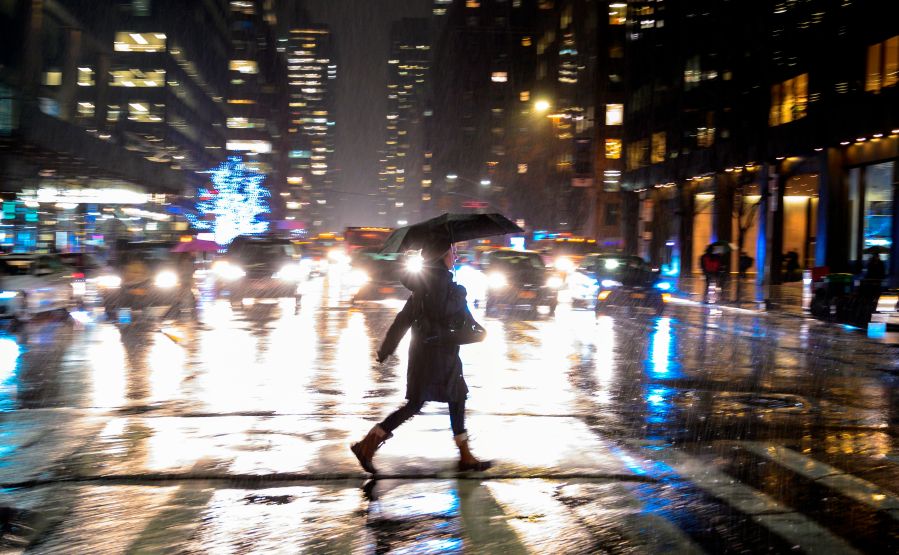
NEW YORK (PIX11) — The soggy and chilly conditions continue as an area of low pressure slides under the tri-state region.
Rain will remain steady through a good portion of Saturday night. Rainfall amounts are expected to be around an inch or so. While ponding on area roadways will be possible, the general risk of flooding will be on the low end. Temperatures will stay in the lower 40s through the night.
NYC forecast and PIX11’s Weather Center
Any rain that lingers around should taper off by Sunday morning. The sun will break through the clouds, and that will help bring temperatures back up into the mid 50s.
The start of next week looks to be great. An area of high pressure will bring more sun on Monday with highs climbing further into the mid 60s.
Tuesday looks to be a repeat of Monday, but there may be a few more clouds around. Afternoon temperatures will hold in the mid 60s.
A frontal boundary may bring the threat of showers during the latter part of Wednesday, but a better chance of rain looks to develop on Thursday as an area of low pressure crosses through the region.
More: Latest News from Around the Tri-State
Temperatures will also cool down during the latter part of next week.
Andrew Cruz is a digital content producer. A native New Yorker, he joined PIX11 in 2009 as a weather producer. More of his work can be found here.
Copyright 2026 Nexstar Media, Inc. All rights reserved. This material may not be published, broadcast, rewritten, or redistributed.
For the latest news, weather, sports, and streaming video, head to PIX11.