
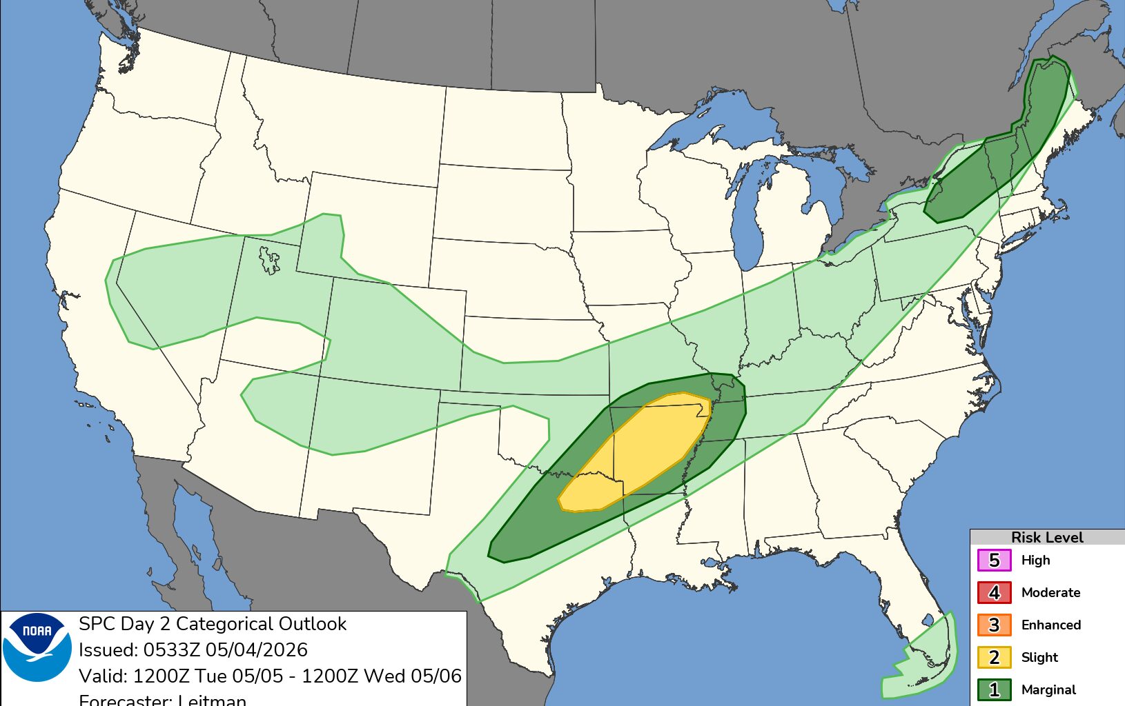
Severe weather season got off to a fast start in early April, but the past two weeks have been relatively quiet.
That lull may come to an end Tuesday and Wednesday. A low risk of severe weather, including tornadoes, hail and high winds, is possible Tuesday afternoon, with widespread rain likely on Wednesday.
Tornadoes are most likely to form when warm, humid air from the south meets cooler, drier air from Canada or the Rocky Mountains. Strong changes in wind direction with height in the lowest part of the atmosphere are also needed.
These ingredients come together more frequently in the spring over the central U.S., helping give Tornado Alley its nickname.
In New York, however, the right combination of ingredients is less common.
Eastern New York also lies downstream of the Adirondack, Catskill and Taconic mountains. Air flowing off these higher elevations can weaken storms as they move into the Capital Region.
But the terrain can also play a role in tornado development. On days with strong winds, air can be funneled through the Hudson, Mohawk and Black River valleys, which can enhance low-level rotation and occasionally help tornadoes form.
For much of April, a ridge of high pressure over the southeastern United States helped steer tornado-producing storms into the Midwest and, at times, the Northeast.
Tuesday’s storm chances mark a brief break in that cooler pattern. Little to no storm activity is expected from Thursday into the weekend.