
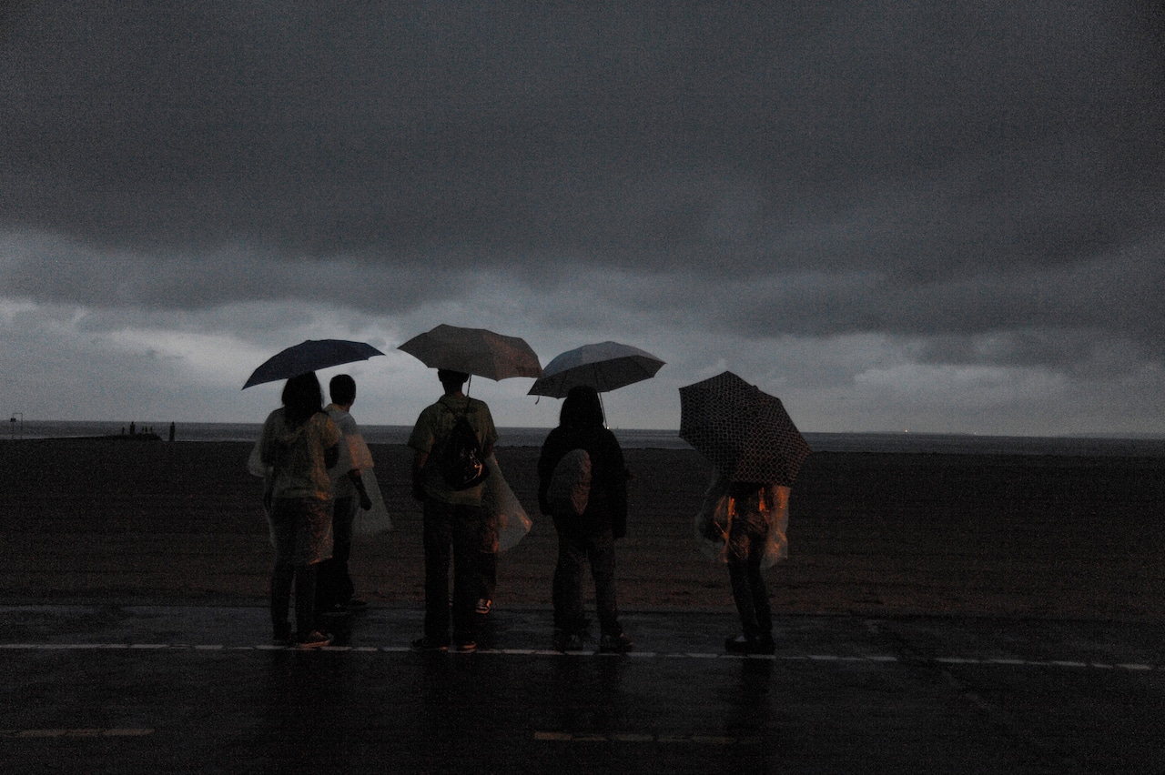
STATEN ISLAND, N.Y. — Before heading into the workweek, residents will want to prepare for wet conditions Sunday night as the National Weather Service issued a coastal flood advisory through 10 p.m. and warned of dangerous rip currents at area beaches.
Forecasters predict showers and thunderstorms will move through the region before 2 a.m., with a 90% chance of precipitation. Rainfall totals are expected to reach between a quarter and half of an inch. The overnight low will dip to 67 degrees with south winds ranging from 9 to 17 mph.
The National Weather Service also warned of a high risk of rip currents at Atlantic Ocean beaches through the end of Sunday.
Sunday evening conditions at Newark International Airport showed mostly cloudy skies with temperatures at 86 degrees and a heat index of 87 degrees. Winds were blowing at 16 mph with gusts reaching 25 mph.
The stormy weather will give way to sunshine for the start of the work week. Monday and Tuesday are expected to be sunny with high temperatures near 81 degrees and overnight lows around 60 degrees.
A warming trend will begin mid-week. Wednesday will bring a 30% chance of showers with a high of 81 degrees, while Thursday’s temperature will climb to 92 degrees. Showers and thunderstorms are likely Thursday afternoon and evening.
The heat will continue through the Juneteenth holiday and into next weekend. Friday’s high will reach 89 degrees, followed by sunny skies on Saturday and Sunday with temperatures hitting 90 degrees.