
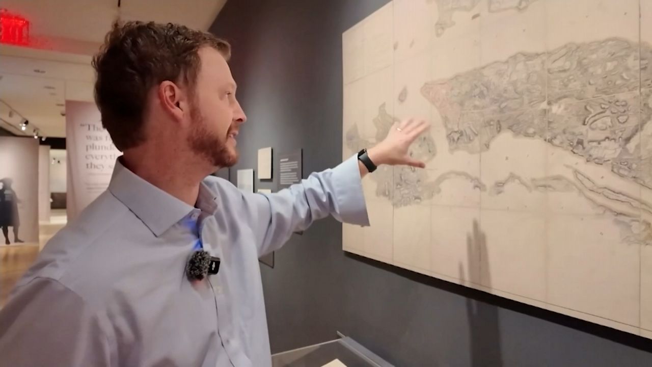
A map of New York City in 1776 shows a city that basically stretches from the Battery to current-day City Hall.
“This is the island as it was back then, no landfills and a lot of things that we’ve added since then. There’s no Battery Park and, obviously, the city comes maybe a quarter-mile more into the East River in places now,” said Ted Knudsen, a Queens College history professor. “But overall, and perhaps more importantly, we’ve blasted a lot of these hills away with dynamite over the years.”
What You Need To Know
Many streets in the much smaller city, which ended around current-day City Hall, were dirt and named after British royalty and aristocratic families
There were very few options for leaving Manhattan in 1776, except for taking an unpaved Broadway to a bridge at the northern end or by boat
Ferries were rowboats to get to what are now Queens, Brooklyn and New Jersey; larger sailboats were the equivalent of current-day commuter rail
Knudsen showed NY1 the lay of the land in 1776 at the Museum of the City of New York exhibit, “The Occupied City: New York and the American Revolution.” While some streets are the same, others were changed either physically or the names were changed.
“You’ll see, like, there’s still Beaver Street downtown. I mean, there’s still Pearl Street. Pearl Street is a nod to the fact that New York Harbor used to have a lot of oysters,” said Knudsen. “Pearl Street is where they the Native Americans, even before they, the Europeans got here, used to dump all their oyster shells. But some things, like King Street, for example, was renamed, you know, like, anything that had royal or king or prince something or other in the title.”
The roads were a mix of dirt and cobblestone. There was one bridge off the island at the northern tip — King’s Bridge — the name of a Bronx neighborhood now. Broadway would take you to the bridge.
“It probably wasn’t paved. And so yeah, so like if you were a people, people that did travel by road, certainly by, wealthier merchants might be on horseback,” said Knudsen. “And there were actually by the late colonial period, after 1760 or so, there’s carriages, and carriage services even. But they’re very uncomfortable. And you probably wouldn’t do that unless you were going on a very long-distance journey.”
Instead, the waterways were the colonial highways. And there were ferries — very different from today.
“So then those would be relatively small boats. You’re talking about rowboats, I mean, or glorified rowboats if you want to go further away than that, you’re talking about a sailboat, so a coaster or a sloop. Depends on how many sails they had,” said Knudsen. “So if you wanted to go up the Hudson to, say, Tarrytown or something like that, you know, there was no commuter rail back then. The commuter rail was the sloop.”
And the waterways were important to trade — some freight vessels even had passenger sections. In colonial times, the water was a big factor in shaping the city.
“New York is New York because of its waterways, you know, because the Hudson River goes so far up inland, is navigable so far inland,” said Knudsen. “Boston, Philadelphia, and New York were about equivalent-sized cities in 1776. But only one of them became, you know, the de facto commercial capital of America.”