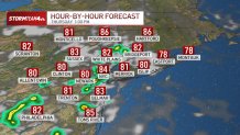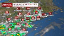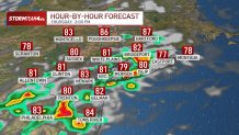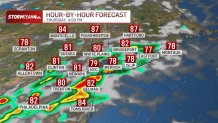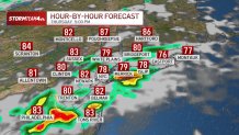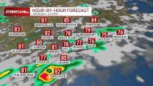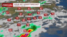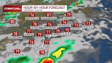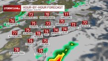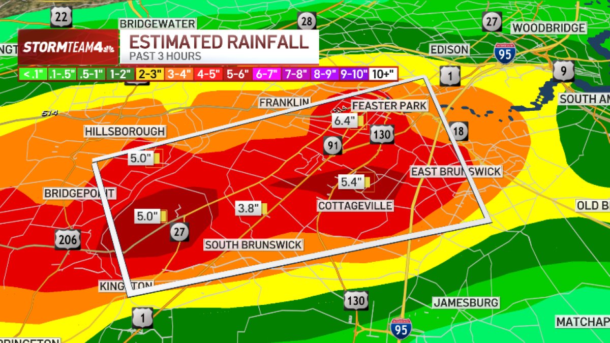
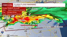
Flash flood warnings are firing up across parts of rain-battered New Jersey, along with Brooklyn and Queens, Thursday as a disturbance skirts the southern half of the tri-state area Thursday afternoon.
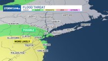
A flash flood warning was issued for Brooklyn and Staten Island in the city until 4:15 p.m., and for a growing number of New Jersey counties. A flood watch originally posted for areas southwest of the tri-state has been extended to include Ocean, Monmouth, Middlesex, Somerset, and Hunterdon counties in New Jersey.
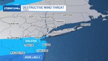
Along with flash flood concerns, there’s a chance of damaging wind gusts.
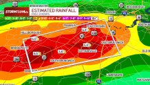
On a scale of 1 to 5, there is a Level 2 threat for Ocean County and a Level 1 threat for Monmouth, Middlesex, Somerset and Hunterdon Counties. Farther north, the threat level diminishes.
Damaging straight-line wind is the threat to watch for from any storms that reach severe limits. That means wind gusts at or above 60 miles per hour that could snap limbs, down trees, or cause power outages.
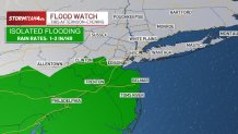
These areas could see isolated storms produce rainfall rates up to 2 inches per hour, which could lead to flash flooding in areas with already saturated ground. Check the latest weather alerts here.
As for rain, areas north of New York City should get less than 0.5 inches. Most areas south of the city could get closer to an inch, with isolated areas receiving 2 inches or more.
Showers and storms will diminish by mid-evening. Any severe weather that does pop up won’t be as impactful or widespread as recent storms.
Who is most at risk?
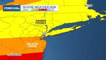
A look at Thursday’s wind threat
More flooding?
Hour-by-hour radar outlook