Extreme heat warnings and advisories once again seize the New York City area starting Tuesday, kicking off another heat wave that, while it won’t compare with the last, will be miserable in its own right.
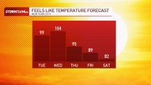
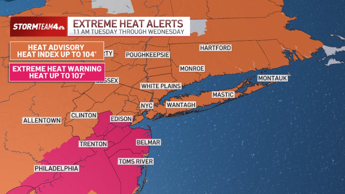
A heat advisory goes into effect in New York City shortly before noon, and by Wednesday many neighborhoods will feel like they’re over 100 degrees. Central and South Jersey could experience some of the most intense heat, with heat indices topping 105 degrees. Extreme heat warnings are in effect there.
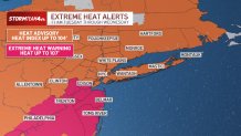
Thankfully, this overall stretch of weather looks a notch below our last major heat wave, both in intensity and duration, but it’s still hot enough to be dangerous. Check the latest severe weather alerts.
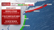
Anyone headed to the beach should be mindful of rip current concerns, especially in New York City and on Long Island.


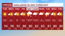
Relief arrives late this week as temperatures trend downward. Unfortunately, storm chances will trend upward at the same time.
We will be in and out of storms Saturday, and more storms are possible for the big World Cup final on Sunday.
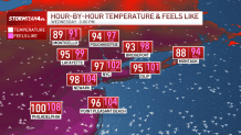
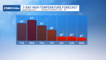
Thursday will be another hot one, but not quite as hot as Wednesday. Temperatures will again reach the low to mid 90s, ensuring that this week’s heat fits the criteria of a heat wave: three days in a row at or above 90 degrees. It would be the second heat wave of the summer.

The heat will taper off into the weekend. Highs on Saturday and Sunday will only reach the low 80s, but with the more comfortable temperatures comes an increased chance for afternoon and evening showers and storms.