
NEW YORK CITY (PIX11) — The air quality index remained at unhealthy levels in New York on Saturday, as the tri-state prepared for potentially life-threatening weather to start the weekend.
The five boroughs, Westchester and Long Island had AQI levels near 200 on Saturday morning, meaning that even people without health issues could be affected by the air pollution and smoke inhalation.
Stay connected with community stories that matter: Visit our homepage
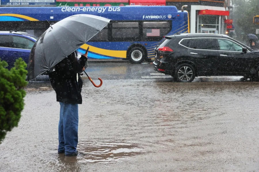
It comes as the area remains under a hazardous weather outlook for severe thunderstorms, damaging wind gusts, heavy rainfall and potential isolated tornadoes, according to the National Weather Service.
Severe thunderstorm forecasts have also prompted flash-flood threats for much of New York and New Jersey, including the five boroughs and Westchester.
NYC forecast and PIX11’s Weather Center
The tri-state is expected to get 1-1.5 inches of rain with localized swaths of 2-4 inches of heavy downpours in the afternoon, along with damaging wind gusts of 60 – 70 mph. The five boroughs and northeast New Jersey are also at risk for isolated tornadoes.
Residents are warned to prepare for damaged trees, downed power lines, power outages and basement flooding in the five boroughs, lower Hudson Valley and northeast New Jersey.
For more on what’s happening in your area, head to our homepage
Timing
Thunderstorms are expected to move into New York City and New Jersey as early as 11 a.m. on Saturday.
Areas expected to be hardest hit
The New York City metro-area along with southern Westchester, the lower Hudson Valley and northeast New Jersey are expected to be the hardest hit.
Dominique Jack is a digital content producer from Brooklyn with more than five years of experience covering news. She joined PIX11 in 2024. More of her work can be found here.
Copyright 2026 Nexstar Media, Inc. All rights reserved. This material may not be published, broadcast, rewritten, or redistributed.
For the latest news, weather, sports, and streaming video, head to PIX11.